Login

Si pozabil/a podatke za prijavo?

Cookies have to be accepted!
Your browser's cookie functionality is disabled. Please enable this functionality.

Not a member yet?

Register now
Login

Available for registred users only

Log in to use this feature.

Si pozabil/a podatke za prijavo?

Cookies have to be accepted!
Your browser's cookie functionality is disabled. Please enable this functionality.

Not a member yet?

Register now
Filter
Kategorije
Advanced filters
  • Dolžina (km)
  • Metri nadmorske višine
Shrani filter Reset filter

TrackRank

QRCode

Technical data

Dolžina5,3 km Metri nadmorske višine178 m Way down178 m Trajanje02:00 h:m Datum10.04.2009
Ocene Author Pokrajina Dejavnik zabave Kondicija Tehnika

Statistika

250 Pogledi 1 Ocena 31 Prenosi 4.00 Povprečje
Rate
  • List z izleti
  • Prihod
  • Prenosi
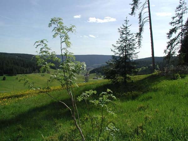
Auf diesem Rundweg wandern Sie zu durch das Gfellloch vorbei am Hasenhof zum Lohrenhof. Von dort aus geht es wieder aufwärts zum Heselberg, vorbei am Heselkreuz, wo sich vor Ihnen das schöne Reichenbachtal ausbreitet. Diese Wanderung führt dann anschließend zurück nach Oberschwärzenbach.

Further information at

http://www.cafe-feldbergblick.de/wanderurlaub_titisee.html

Zemljevid in višinski profil izleta

  • Open Street Map
  • Google
Minimum height 908 m Maximum height 1047 m Prikaz podrobnosti

More about the tour author

RVogelbacher
Member since 2009

Send private message

Komentarji

Poti GPS

Trackpoints
  • GPX / Garmin Map Source (gpx) download
  • TCX / Garmin Training Center® (tcx) download
  • CRS / Garmin Training Center® (crs) download
  • Google Earth (kml) download
  • G7ToWin (g7t) download
  • TTQV (trk) download
  • Overlay (ovl) download
  • Fugawi (txt) download
  • Kompass (DAV) Track (tk) download
  • List z izleti (pdf) download
  • Original file of the author (gpx) download

More about the tour author

RVogelbacher
Member since 2009

Send private message
Share track
Add to my favorites
Remove from my favorites
Edit tags
My score
Rate
Izlet: Lohrenhofrundweg (Titisee-Neustadt / OT Schwärzenbach)
Vrsta: Pešačenje
Dolžina: 5,3 km
Evaluated on:
Trajanje:
Day(s)
Hour(s)
Minute(s)
Ocena: Pokrajina Dejavnik zabave Kondicija Tehnika