


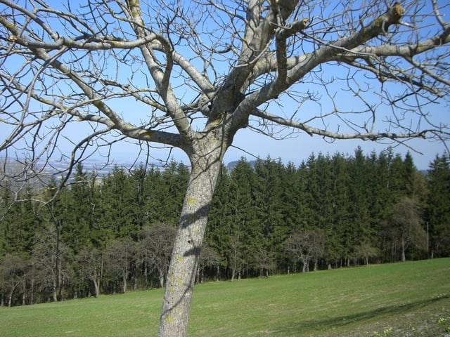
Von Steyr ein kurzes Stück durchs Ramingtal, danach rechts aufwärts zum ersten längeren Anstieg Richtung Damberg.
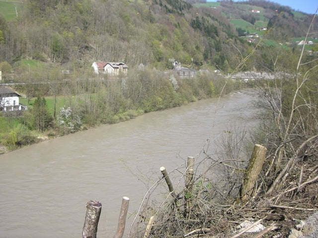
Danach abwärts ins Ennstal, auf der Ennstalbundesstraße nach Losenstein und auf der anderen Flußseite mit sehr sehr viel weniger Verkehr zurück nach Ternberg.
Es folgt der 2. Anstieg hinauf auf knapp über 500m und auf gut ausgebauter Strecke hinunter ins Steyrtal welches aber bereits kurze Zeit später bereits wieder in Richtung Waldneukirchen verlassen wird.......
Galerija izletov


Zemljevid in višinski profil izleta
Minimum height 292 m
Maximum height 667 m
More about the tour author

|
bruale |
Komentarji

Poti GPS
Trackpoints-
GPX / Garmin Map Source (gpx) download
-
TCX / Garmin Training Center® (tcx) download
-
CRS / Garmin Training Center® (crs) download
-
Google Earth (kml) download
-
G7ToWin (g7t) download
-
TTQV (trk) download
-
Overlay (ovl) download
-
Fugawi (txt) download
-
Kompass (DAV) Track (tk) download
-
List z izleti (pdf) download
-
Original file of the author (gpx) download
More about the tour author
|
|
bruale |
Add to my favorites
Remove from my favorites
Edit tags
Open track
My score
Rate