Login

Si pozabil/a podatke za prijavo?

Cookies have to be accepted!
Your browser's cookie functionality is disabled. Please enable this functionality.

Not a member yet?

Register now
Login

Available for registred users only

Log in to use this feature.

Si pozabil/a podatke za prijavo?

Cookies have to be accepted!
Your browser's cookie functionality is disabled. Please enable this functionality.

Not a member yet?

Register now
Filter
Kategorije
Advanced filters
  • Dolžina (km)
  • Metri nadmorske višine
Shrani filter Reset filter

TrackRank

QRCode

Technical data

Dolžina23,3 km Metri nadmorske višine338 m Way down337 m Trajanje05:00 h:m Datum14.04.2009
Ocene Author Pokrajina Dejavnik zabave Kondicija Tehnika

Statistika

623 Pogledi Ocene 141 Prenosi Povprečje
Rate
  • List z izleti
  • Prihod
  • Prenosi

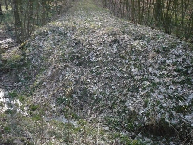
Eine schöne Tagestour durch den Hainich. Die ersten 16 km in Richtung Westen lassen sich sehr gut gehen. Die Wege sind gröstenteils alte Wirtschaftswege.

Die restlichen km sind dann eher etwas löcherige bzw der Wanderweg hört dann einafch auf. Aber sowas macht ein Naturpark nun aus. An diesen stellen ist dann auch pure Natur, denn dorthin kommt nicht jedet

Further information at

http://www.nationalpark-hainich.de/

Galerija izletov

Zemljevid in višinski profil izleta

  • Open Street Map
  • Google
Minimum height 231 m Maximum height 476 m Prikaz podrobnosti

More about the tour author

skandal07
Member since 2009

Send private message

Komentarji

Parkplatz ist in Craula oder Weberstedt  vorhanden

Poti GPS

Trackpoints
  • GPX / Garmin Map Source (gpx) download
  • TCX / Garmin Training Center® (tcx) download
  • CRS / Garmin Training Center® (crs) download
  • Google Earth (kml) download
  • G7ToWin (g7t) download
  • TTQV (trk) download
  • Overlay (ovl) download
  • Fugawi (txt) download
  • Kompass (DAV) Track (tk) download
  • List z izleti (pdf) download
  • Original file of the author (gpx) download

More about the tour author

skandal07
Member since 2009

Send private message
Share track
Add to my favorites
Remove from my favorites
Edit tags
My score
Rate
Izlet: tagestour durch den Hainich
Vrsta: Pešačenje
Dolžina: 23,3 km
Evaluated on:
Trajanje:
Day(s)
Hour(s)
Minute(s)
Ocena: Pokrajina Dejavnik zabave Kondicija Tehnika