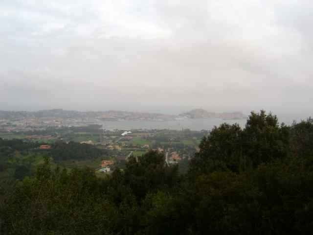
Tour from Aquabona up to the Mt. Orello, down on a nice trail, not too difficult.
Further information at
http://www.gps-tour.info/tours/view.php?action=view&entity=list&limitstart=0&country=Italien&federal=ToskanaGalerija izletov
Zemljevid in višinski profil izleta
Minimum height 41 m
Maximum height 382 m
Komentarji
drive from Portoferrario in direction Porto Azurro, park near the golf center Aquabona
Poti GPS
Trackpoints-
GPX / Garmin Map Source (gpx) download
-
TCX / Garmin Training Center® (tcx) download
-
CRS / Garmin Training Center® (crs) download
-
Google Earth (kml) download
-
G7ToWin (g7t) download
-
TTQV (trk) download
-
Overlay (ovl) download
-
Fugawi (txt) download
-
Kompass (DAV) Track (tk) download
-
List z izleti (pdf) download
-
Original file of the author (gpx) download
Add to my favorites
Remove from my favorites
Edit tags
Open track
My score
Rate


nice route