
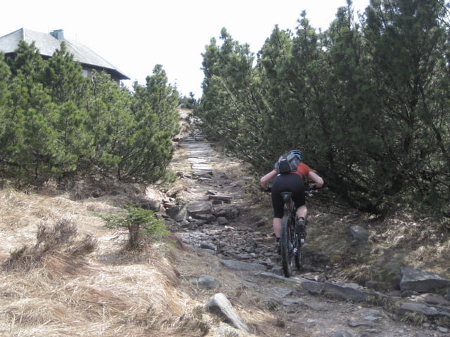

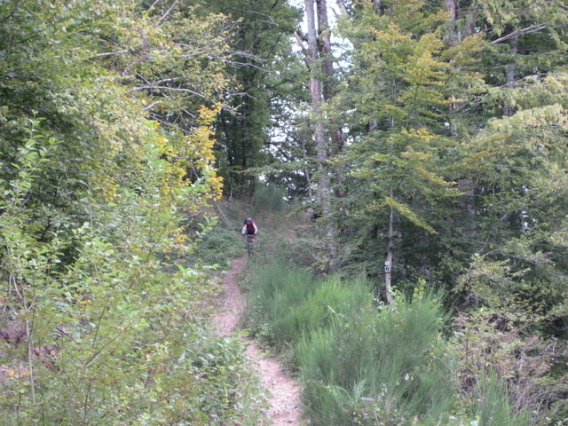
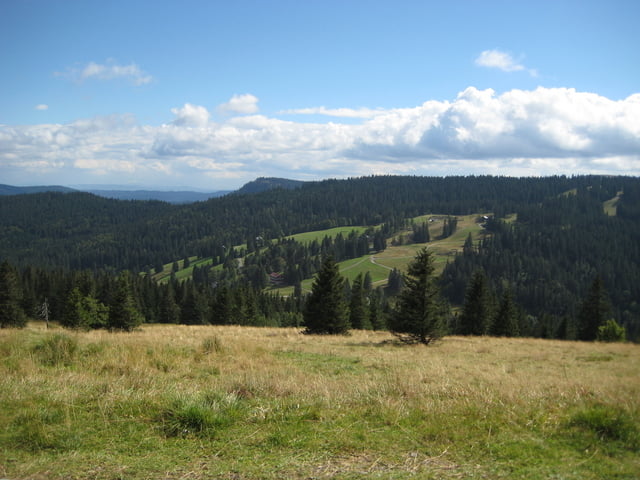
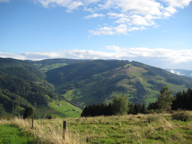
Abgespeckter Schwarzwaldcross von Pforzheim nach Staufen und noch einen Aufstieg auf den Belchen. Die Tour wird oft unterschätzt weil sie "nur" durch ein deutsches Mittelgebierge geht. Der Schwarzwald hat aber durchaus alpine Wege die technisch anspruchsvoll sind.
Die zweite Etappe im Bereich des Hochkopfes-Hornisgrinde bis Schliffkopf sollte man möglichst nicht an einem Sonntag fahren, da sehr traillastig und viele Wanderer unterwegs.
Aufgrund schlechtem Wetter konnten wir einige technische Passagen nicht fahren. Die sind aber mit Topokarten leicht korrigierbar.
Wir sind die Strecke in 4 Etappen gefahren: Pforzheim-Hundsbach 1632HM, 63km, Hundsbach-Hausach 1600HM, 70km, Hausach-Furtwangen-Linach 1409HM, 60km und Linach-Staufen 1534HM, 73km.
Galerija izletov
Zemljevid in višinski profil izleta
Minimum height 215 m
Maximum height 1429 m
More about the tour author
|
|
Berghexe |
Komentarji

Poti GPS
Trackpoints-
GPX / Garmin Map Source (gpx) download
-
TCX / Garmin Training Center® (tcx) download
-
CRS / Garmin Training Center® (crs) download
-
Google Earth (kml) download
-
G7ToWin (g7t) download
-
TTQV (trk) download
-
Overlay (ovl) download
-
Fugawi (txt) download
-
Kompass (DAV) Track (tk) download
-
List z izleti (pdf) download
-
Original file of the author (gpx) download
More about the tour author
|
|
Berghexe |
Add to my favorites
Remove from my favorites
Edit tags
Open track
My score
Rate