Login

Si pozabil/a podatke za prijavo?

Cookies have to be accepted!
Your browser's cookie functionality is disabled. Please enable this functionality.

Not a member yet?

Register now
Login

Available for registred users only

Log in to use this feature.

Si pozabil/a podatke za prijavo?

Cookies have to be accepted!
Your browser's cookie functionality is disabled. Please enable this functionality.

Not a member yet?

Register now
Filter
Kategorije
Advanced filters
  • Dolžina (km)
  • Metri nadmorske višine
Shrani filter Reset filter

TrackRank

QRCode

Technical data

Dolžina81,4 km Metri nadmorske višine877 m Way down873 m Trajanje06:00 h:m Datum28.04.2009
Ocene Author User Pokrajina Dejavnik zabave Kondicija Tehnika

Statistika

1549 Pogledi 1 Ocena 372 Prenosi 3.00 Povprečje
Rate
  • List z izleti
  • Prihod
  • Prenosi

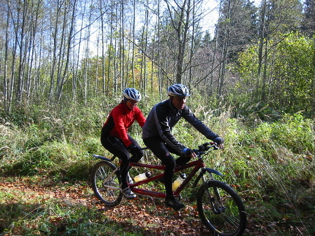
Sehr schöne weite Tour durchs Mangfalltal zum Schliersee weiter an der Leitzach auf schönen Wiesenwegen zum Hocheck und Auerberg. Sehr nette Einkehr beim Gasthof Hocheck mit super Aussicht. Dann eine Rasante Abfahrt ins Voralpen Land richtung Bad Aibling und zurück an der Mangfall nach Westerham.

Änlich wie eine Mosertour!

Zemljevid in višinski profil izleta

  • Open Street Map
  • Google
Minimum height 480 m Maximum height 895 m Prikaz podrobnosti

More about the tour author

punkt245
Member since 2008

Send private message

Komentarji

Autobahn A8 Richtung Salburg Abfahrt Weyen Richtung Feldkirchen in Westerham gleich an der Mangfall Brücke Parken.

Man kann auch bei der Kreuzstrasse Starten!

Poti GPS

Trackpoints
  • GPX / Garmin Map Source (gpx) download
  • TCX / Garmin Training Center® (tcx) download
  • CRS / Garmin Training Center® (crs) download
  • Google Earth (kml) download
  • G7ToWin (g7t) download
  • TTQV (trk) download
  • Overlay (ovl) download
  • Fugawi (txt) download
  • Kompass (DAV) Track (tk) download
  • List z izleti (pdf) download
  • Original file of the author (gpx) download

More about the tour author

punkt245
Member since 2008

Send private message
Share track
Add to my favorites
Remove from my favorites
Edit tags
My score
Rate
Izlet: Mangfall-Schliersee-Leitzach
Vrsta: Gorsko kolo
Dolžina: 81,4 km
Evaluated on:
Trajanje:
Day(s)
Hour(s)
Minute(s)
Ocena: Pokrajina Dejavnik zabave Kondicija Tehnika