Viele werden die GIS bereits kennen : hier ist eine Variante mit dem Gründberg Trail, den ich für GPS noch nicht gefunden habe.
Runter gehts im Besten Downhill: Diesenleithenweg !
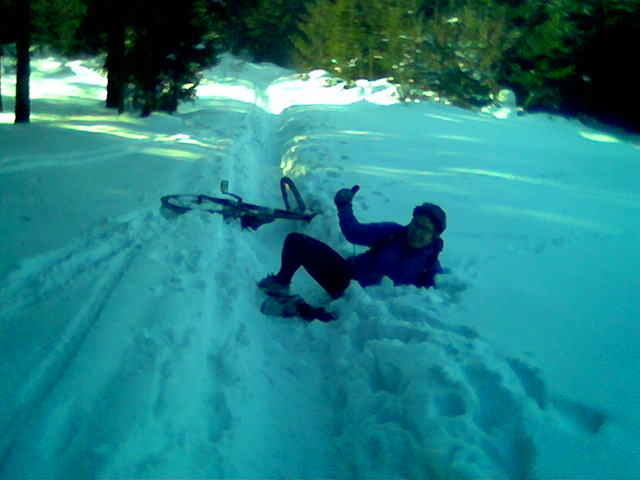
Am Wurzeltrail zur Gis bin ich links vom Weg, da wegen des Schnees und der umgefallenen Bäume der Weg nicht befahrbar war.
Aufgezeichnet mit Garmin GPSMAP 60CSx.
Galerija izletov
Zemljevid in višinski profil izleta
Minimum height 259 m
Maximum height 920 m
Komentarji

michwies
on 12.04.2010
schöner track, alles fahrbar, danke!

Linz ist leicht zu finden.
Meine Tour beginnt beim Hofer Ecke Freistädterstrasse-Zerzerstrasse.
Poti GPS
Trackpoints-
GPX / Garmin Map Source (gpx) download
-
TCX / Garmin Training Center® (tcx) download
-
CRS / Garmin Training Center® (crs) download
-
Google Earth (kml) download
-
G7ToWin (g7t) download
-
TTQV (trk) download
-
Overlay (ovl) download
-
Fugawi (txt) download
-
Kompass (DAV) Track (tk) download
-
List z izleti (pdf) download
-
Original file of the author (gpx) download
Add to my favorites
Remove from my favorites
Edit tags
Open track
My score
Rate


