Login

Si pozabil/a podatke za prijavo?

Cookies have to be accepted!
Your browser's cookie functionality is disabled. Please enable this functionality.

Not a member yet?

Register now
Login

Available for registred users only

Log in to use this feature.

Si pozabil/a podatke za prijavo?

Cookies have to be accepted!
Your browser's cookie functionality is disabled. Please enable this functionality.

Not a member yet?

Register now
Filter
Kategorije
Advanced filters
  • Dolžina (km)
  • Metri nadmorske višine
Shrani filter Reset filter

TrackRank

QRCode

Technical data

Dolžina17,1 km Metri nadmorske višine569 m Way down451 m Trajanje05:30 h:m Datum03.05.2009
Ocene Author Pokrajina Dejavnik zabave Kondicija Tehnika

Statistika

916 Pogledi Ocene 100 Prenosi Povprečje
Rate
  • List z izleti
  • Prihod
  • Prenosi

Sehr schöne Tour die eine gute Kondition voraussetzt. Gute Schuhe mit rutschfestem Profil sind ratsam. Auch Proviant und Getränke sollten im Rucksack sein, denn es gibt während der Tour keine Einkehrmöglichkeiten.

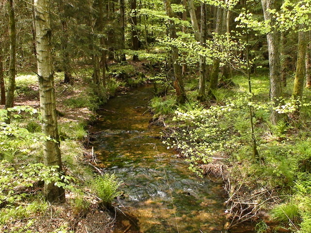
Die Tour führt durch unberührte Wälder und Bachtäler auf den Spuren eines Schmuggler-Grenzpfad zwischen dem Saarland und Rheinland-Pfalz. Höchster Punkt der Tour ist der Schimmelkopf auf 695 Meter.

Eine genaue Wegbeschreibung findet man auf der unten genannten Homepage


Further information at

http://www.weiskirchen.de

Galerija izletov

Zemljevid in višinski profil izleta

  • Open Street Map
  • Google
Minimum height 276 m Maximum height 630 m Prikaz podrobnosti

More about the tour author

pmhilzi
Member since 2008

Send private message

Komentarji

Start und Ziel: Parkplatz Naturfreibad Weiskirchen


Genaue Wegbeschreibung siehe:

www.weiskirchen.de

Poti GPS

Trackpoints
  • GPX / Garmin Map Source (gpx) download
  • TCX / Garmin Training Center® (tcx) download
  • CRS / Garmin Training Center® (crs) download
  • Google Earth (kml) download
  • G7ToWin (g7t) download
  • TTQV (trk) download
  • Overlay (ovl) download
  • Fugawi (txt) download
  • Kompass (DAV) Track (tk) download
  • List z izleti (pdf) download
  • Original file of the author (gpx) download

More about the tour author

pmhilzi
Member since 2008

Send private message
Share track
Add to my favorites
Remove from my favorites
Edit tags
My score
Rate
Izlet: weiskircher Höhen-Tour
Vrsta: Pešačenje
Dolžina: 17,1 km
Evaluated on:
Trajanje:
Day(s)
Hour(s)
Minute(s)
Ocena: Pokrajina Dejavnik zabave Kondicija Tehnika