

Tour von Gladbeck in die Haard. Dort die CTF zun großen Teil nachgefahren. Anschließend wieder zurück über GE-Buer. An den Stellen wo der Track doppelt ist, nie den Track kreuzen.
Galerija izletov


Zemljevid in višinski profil izleta
Minimum height 38 m
Maximum height 155 m
More about the tour author
|
|
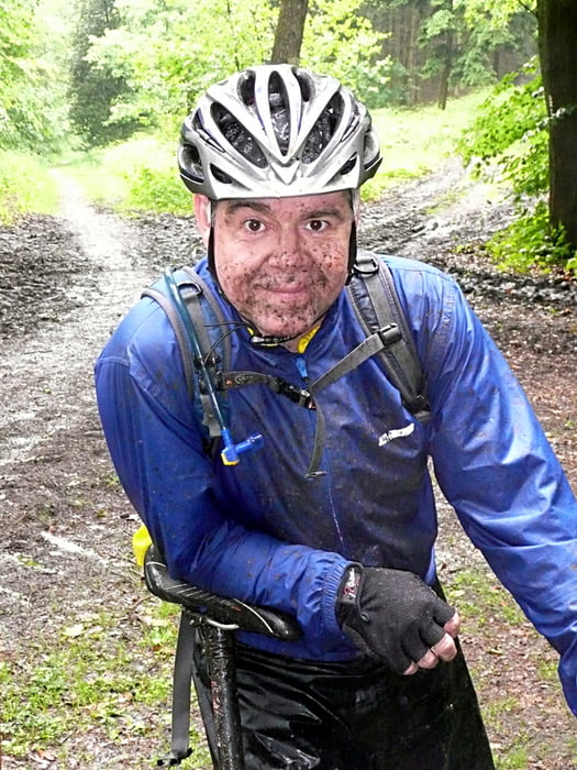
tottreter |
Komentarji

Poti GPS
Trackpoints-
GPX / Garmin Map Source (gpx) download
-
TCX / Garmin Training Center® (tcx) download
-
CRS / Garmin Training Center® (crs) download
-
Google Earth (kml) download
-
G7ToWin (g7t) download
-
TTQV (trk) download
-
Overlay (ovl) download
-
Fugawi (txt) download
-
Kompass (DAV) Track (tk) download
-
List z izleti (pdf) download
-
Original file of the author (gpx) download
More about the tour author
|
|
tottreter |
Add to my favorites
Remove from my favorites
Edit tags
Open track
My score
Rate