Login

Si pozabil/a podatke za prijavo?

Cookies have to be accepted!
Your browser's cookie functionality is disabled. Please enable this functionality.

Not a member yet?

Register now
Login

Available for registred users only

Log in to use this feature.

Si pozabil/a podatke za prijavo?

Cookies have to be accepted!
Your browser's cookie functionality is disabled. Please enable this functionality.

Not a member yet?

Register now
Filter
Kategorije
Advanced filters
  • Dolžina (km)
  • Metri nadmorske višine
Shrani filter Reset filter

TrackRank

QRCode

Technical data

Dolžina37,3 km Metri nadmorske višine226 m Way down261 m Trajanje00:00 h:m Datum19.06.2009
Ocene Author Pokrajina Dejavnik zabave Kondicija Tehnika

Statistika

2007 Pogledi Ocene 112 Prenosi Povprečje
Rate
  • List z izleti
  • Prihod
  • Prenosi
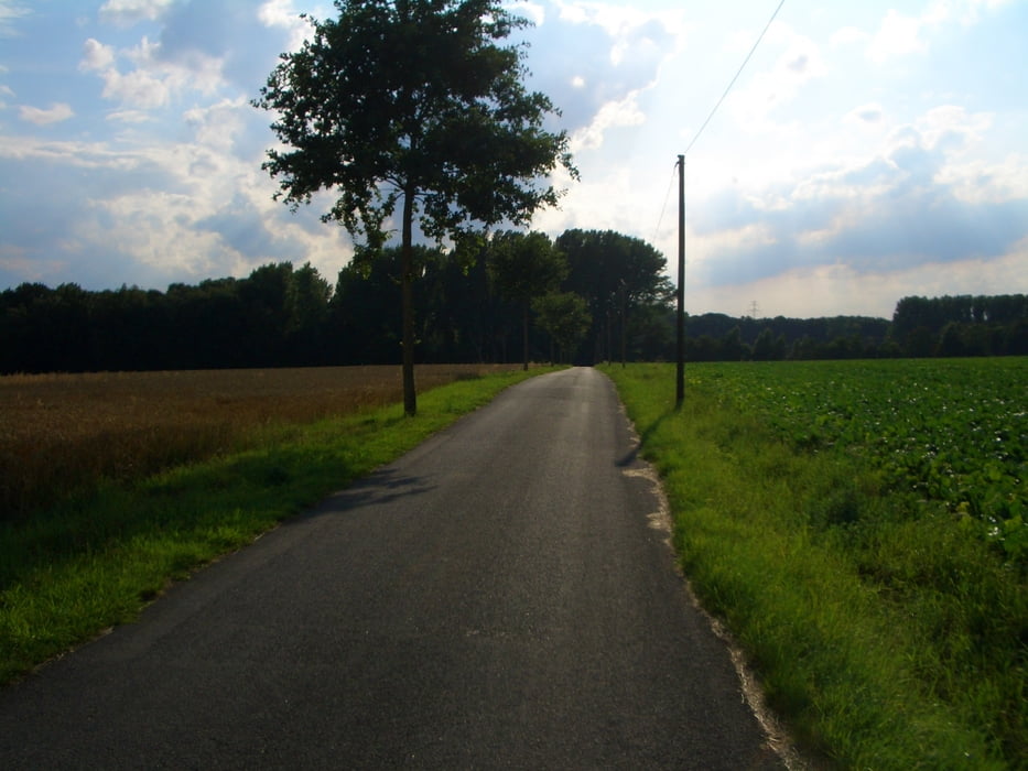
Die Rübenroute führt auf einer Länge von 38 km vorbei an saftigen Wiesen und fruchtbaren Feldern  und  verbindet dabei die Orte Bad Salzuflen ,Lage und Leopoldshöhe . Dabei fährt man überwiegend auf Radwege oder Nebenstrecken mit wenig Verkehr .

Galerija izletov

Zemljevid in višinski profil izleta

  • Open Street Map
  • Google
Minimum height 65 m Maximum height 135 m Prikaz podrobnosti

More about the tour author

Matthias1
Member since 2008

Send private message

Komentarji

Poti GPS

Trackpoints
  • GPX / Garmin Map Source (gpx) download
  • TCX / Garmin Training Center® (tcx) download
  • CRS / Garmin Training Center® (crs) download
  • Google Earth (kml) download
  • G7ToWin (g7t) download
  • TTQV (trk) download
  • Overlay (ovl) download
  • Fugawi (txt) download
  • Kompass (DAV) Track (tk) download
  • List z izleti (pdf) download
  • Original file of the author (gpx) download

More about the tour author

Matthias1
Member since 2008

Send private message
Share track
Add to my favorites
Remove from my favorites
Edit tags
My score
Rate
Izlet: Rüben Route
Vrsta: Izleti s kolesom
Dolžina: 37,3 km
Evaluated on:
Trajanje:
Day(s)
Hour(s)
Minute(s)
Ocena: Pokrajina Dejavnik zabave Kondicija Tehnika