


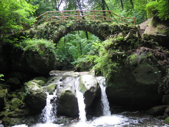
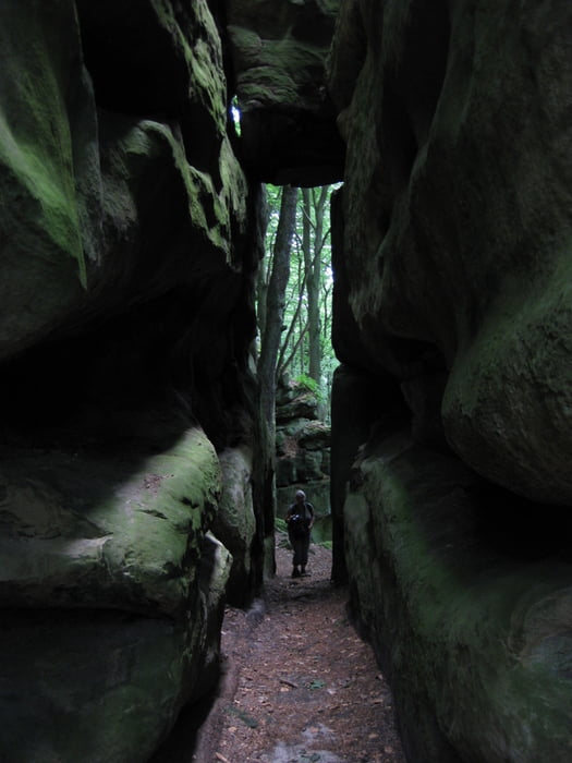
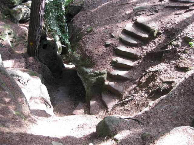
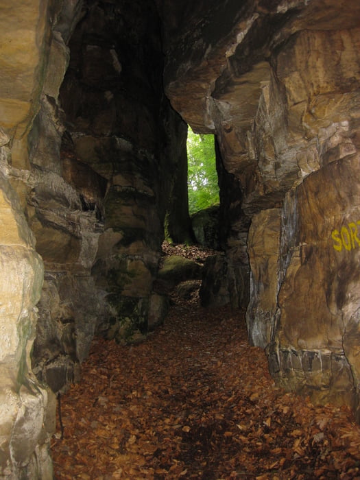
Die Tour führt euch durch einen kleinen Bereich der Luxemburger Schweiz, die Felsformationen,kleinen Höhlen,Schluchten,fast Klettersteig ähnliche Passagen,Wasserläufe machen diese tolle Tour aus.
Jeweils zur Hälfte der Strecke kann man bei Bedarf einkehren.
www.mullerthal-trail.lu/de/Wandertouren.php
Da wir auch links und rechts des Weges gelaufen sind, um andere Eindrücke zu gewinnen, sind die GPX Daten nicht exakt die des Weges. Folgt einfach ab dem Parkplatz dem blauen Fähnchen Richtung Müllerthal, dann kann bei dem Rundweg eigentlich nichts falsch laufen.
Viel,viel Spaß.
Further information at
http://www.mullerthal-trail.luGalerija izletov
Zemljevid in višinski profil izleta
Minimum height 235 m
Maximum height 350 m
More about the tour author

|
diga |
Komentarji

Poti GPS
Trackpoints-
GPX / Garmin Map Source (gpx) download
-
TCX / Garmin Training Center® (tcx) download
-
CRS / Garmin Training Center® (crs) download
-
Google Earth (kml) download
-
G7ToWin (g7t) download
-
TTQV (trk) download
-
Overlay (ovl) download
-
Fugawi (txt) download
-
Kompass (DAV) Track (tk) download
-
List z izleti (pdf) download
-
Original file of the author (gpx) download
More about the tour author
|
|
diga |
Add to my favorites
Remove from my favorites
Edit tags
Open track
My score
Rate