Login

Si pozabil/a podatke za prijavo?

Cookies have to be accepted!
Your browser's cookie functionality is disabled. Please enable this functionality.

Not a member yet?

Register now
Login

Available for registred users only

Log in to use this feature.

Si pozabil/a podatke za prijavo?

Cookies have to be accepted!
Your browser's cookie functionality is disabled. Please enable this functionality.

Not a member yet?

Register now
Filter
Kategorije
Advanced filters
  • Dolžina (km)
  • Metri nadmorske višine
Shrani filter Reset filter

TrackRank

QRCode

Technical data

Dolžina40,0 km Metri nadmorske višine1274 m Way down1277 m Trajanje04:30 h:m Datum28.06.2009
Ocene Author Pokrajina Dejavnik zabave Kondicija Tehnika

Statistika

1425 Pogledi Ocene 256 Prenosi Povprečje
Rate
  • List z izleti
  • Prihod
  • Prenosi
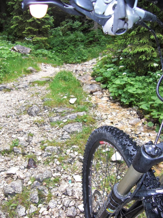
Die meisten Teile der Tour sind breite Schotterwege. Bei der Talabfahrt gehts tempomäßig gut zur Sache. Wer schafft max Speed 65 km/h? Den Abstecher Richtung Kranzberg kann mann sich sparen. Ständiges bergauf schieben macht keinen Spaß. Und bei dieser Abfahrt machten mir die nassen Querbalken das Leben schwer. Die waren wie eingeseift.

Galerija izletov

Zemljevid in višinski profil izleta

  • Open Street Map
  • Google
Minimum height 896 m Maximum height 1850 m Prikaz podrobnosti

More about the tour author

Schiekofer
Member since 2008

Send private message

Komentarji

Poti GPS

Trackpoints
  • GPX / Garmin Map Source (gpx) download
  • TCX / Garmin Training Center® (tcx) download
  • CRS / Garmin Training Center® (crs) download
  • Google Earth (kml) download
  • G7ToWin (g7t) download
  • TTQV (trk) download
  • Overlay (ovl) download
  • Fugawi (txt) download
  • Kompass (DAV) Track (tk) download
  • List z izleti (pdf) download
  • Original file of the author (gpx) download

More about the tour author

Schiekofer
Member since 2008

Send private message
Share track
Add to my favorites
Remove from my favorites
Edit tags
My score
Rate
Izlet: Mittenwald-Schachenalm-Elmau-Kranzberg-Mittenwald
Vrsta: Gorsko kolo
Dolžina: 40,0 km
Evaluated on:
Trajanje:
Day(s)
Hour(s)
Minute(s)
Ocena: Pokrajina Dejavnik zabave Kondicija Tehnika