Très très beau parcours avec beaucoup de montées mais également beaucoup de descente.
La première moitiée du circuit et la plus physique.
La majorité du tracé empreinte des single très ludique.
Further information at
http://walscheid-am.spaces.live.com/blog/Galerija izletov
Zemljevid in višinski profil izleta
Minimum height 328 m
Maximum height 874 m
Komentarji

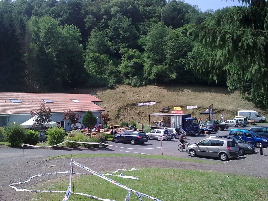
Le départ se fait près du terrain de foot.
Poti GPS
Trackpoints-
GPX / Garmin Map Source (gpx) download
-
TCX / Garmin Training Center® (tcx) download
-
CRS / Garmin Training Center® (crs) download
-
Google Earth (kml) download
-
G7ToWin (g7t) download
-
TTQV (trk) download
-
Overlay (ovl) download
-
Fugawi (txt) download
-
Kompass (DAV) Track (tk) download
-
List z izleti (pdf) download
-
Original file of the author (gpx) download
Add to my favorites
Remove from my favorites
Edit tags
Open track
My score
Rate


