Login

Si pozabil/a podatke za prijavo?

Cookies have to be accepted!
Your browser's cookie functionality is disabled. Please enable this functionality.

Not a member yet?

Register now
Login

Available for registred users only

Log in to use this feature.

Si pozabil/a podatke za prijavo?

Cookies have to be accepted!
Your browser's cookie functionality is disabled. Please enable this functionality.

Not a member yet?

Register now
Filter
Kategorije
Advanced filters
  • Dolžina (km)
  • Metri nadmorske višine
Shrani filter Reset filter

TrackRank

QRCode

Technical data

Dolžina63,8 km Metri nadmorske višine1037 m Way down988 m Trajanje00:00 h:m Datum29.06.2009
Ocene Author Pokrajina Dejavnik zabave Kondicija Tehnika

Statistika

696 Pogledi Ocene 98 Prenosi Povprečje
Rate
  • List z izleti
  • Prihod
  • Prenosi

Strecke in Stichpunkten: Waldbronn - Ettlingen - Malsch - Freiolsheim - Moosbronn - Kullenmühle- Bad Herrenalb - Gaistal - Schweizer Kopf - Dobel - Bad Herrenalb -Marxzell - Waldbronn.

Anstieg von Malsch nach Freiolsheim bis zu 12 % Steigung. Von Bad Herrenalb durch das obere Gaistal zum Schweizer Kopf hinauf ca. 5-8 % Steigung, landschaftlich schöne Strecke.
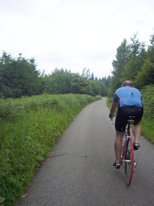
Galerija izletov

Zemljevid in višinski profil izleta

  • Open Street Map
  • Google
Minimum height 103 m Maximum height 819 m Prikaz podrobnosti

More about the tour author

Moppedcarlo
Member since 2008

Send private message

Komentarji

Poti GPS

Trackpoints
  • GPX / Garmin Map Source (gpx) download
  • TCX / Garmin Training Center® (tcx) download
  • CRS / Garmin Training Center® (crs) download
  • Google Earth (kml) download
  • G7ToWin (g7t) download
  • TTQV (trk) download
  • Overlay (ovl) download
  • Fugawi (txt) download
  • Kompass (DAV) Track (tk) download
  • List z izleti (pdf) download
  • Original file of the author (gpx) download

More about the tour author

Moppedcarlo
Member since 2008

Send private message
Share track
Add to my favorites
Remove from my favorites
Edit tags
My score
Rate
Izlet: Kleine Nordschwarzwald-Runde
Vrsta: Dirkalno kolo
Dolžina: 63,8 km
Evaluated on:
Trajanje:
Day(s)
Hour(s)
Minute(s)
Ocena: Pokrajina Dejavnik zabave Kondicija Tehnika