Login

Si pozabil/a podatke za prijavo?

Cookies have to be accepted!
Your browser's cookie functionality is disabled. Please enable this functionality.

Not a member yet?

Register now
Login

Available for registred users only

Log in to use this feature.

Si pozabil/a podatke za prijavo?

Cookies have to be accepted!
Your browser's cookie functionality is disabled. Please enable this functionality.

Not a member yet?

Register now
Filter
Kategorije
Advanced filters
  • Dolžina (km)
  • Metri nadmorske višine
Shrani filter Reset filter

TrackRank

QRCode

Technical data

Dolžina138,0 km Metri nadmorske višine2849 m Way down2545 m Trajanje08:00 h:m Datum26.07.2009
Ocene Author Pokrajina Dejavnik zabave Kondicija Tehnika

Statistika

371 Pogledi Ocene 51 Prenosi Povprečje
Rate
  • List z izleti
  • Prihod
  • Prenosi
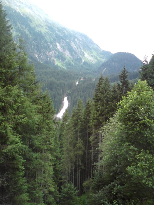
Durchs Mölltal auf die Großglockner Hochalpenstr. und hinunter nach Fusch. Durch den Pinzgau über den Gerlospass bis nach Gerlos.

Galerija izletov

Zemljevid in višinski profil izleta

  • Open Street Map
  • Google
Minimum height 767 m Maximum height 2504 m Prikaz podrobnosti

More about the tour author

Struwe
Member since 2007

Send private message

Komentarji

Poti GPS

Trackpoints
  • GPX / Garmin Map Source (gpx) download
  • TCX / Garmin Training Center® (tcx) download
  • CRS / Garmin Training Center® (crs) download
  • Google Earth (kml) download
  • G7ToWin (g7t) download
  • TTQV (trk) download
  • Overlay (ovl) download
  • Fugawi (txt) download
  • Kompass (DAV) Track (tk) download
  • List z izleti (pdf) download
  • Original file of the author (gpx) download

More about the tour author

Struwe
Member since 2007

Send private message
Share track
Add to my favorites
Remove from my favorites
Edit tags
My score
Rate
Izlet: Alpenrunde Rennrad 5. Etappe
Vrsta: Čezalpska
Dolžina: 138,0 km
Evaluated on:
Trajanje:
Day(s)
Hour(s)
Minute(s)
Ocena: Pokrajina Dejavnik zabave Kondicija Tehnika