Login

Si pozabil/a podatke za prijavo?

Cookies have to be accepted!
Your browser's cookie functionality is disabled. Please enable this functionality.

Not a member yet?

Register now
Login

Available for registred users only

Log in to use this feature.

Si pozabil/a podatke za prijavo?

Cookies have to be accepted!
Your browser's cookie functionality is disabled. Please enable this functionality.

Not a member yet?

Register now
Filter
Kategorije
Advanced filters
  • Dolžina (km)
  • Metri nadmorske višine
Shrani filter Reset filter

TrackRank

QRCode

Technical data

Dolžina30,4 km Metri nadmorske višine597 m Way down581 m Trajanje02:00 h:m Datum28.07.2009
Ocene Author Pokrajina Dejavnik zabave Kondicija Tehnika

Statistika

2464 Pogledi Ocene 146 Prenosi Povprečje
Rate
  • List z izleti
  • Prihod
  • Prenosi
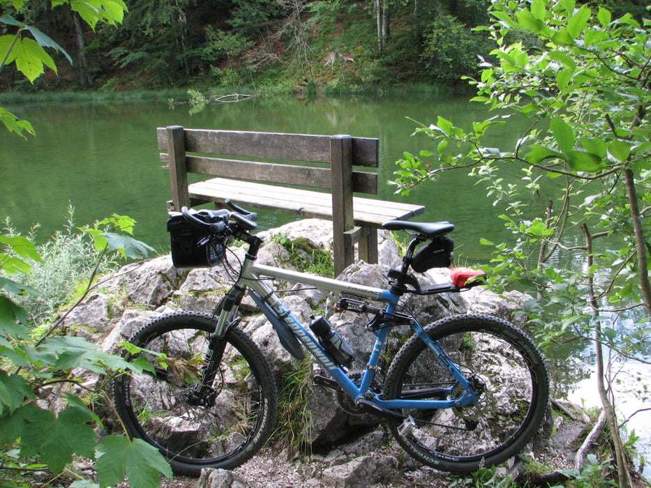
Hier meine Radltour zur Reiteralm von Ruhpolding aus. Diese ist nicht allzu anspruchsvoll und steil, aber doch mit einigen 10-15% Rampen versehen. Die Reiteralm liegt schön, habe sie aber nicht getestet. Von der Kaitel Alm waren wir nicht besonders begeistert... Das Foto habe ich am Taubensee gemacht unterhalb der Rauschbergbahn, sehr idyllisch aber auch arg mückenlastig...

Zemljevid in višinski profil izleta

  • Open Street Map
  • Google
Minimum height 654 m Maximum height 970 m Prikaz podrobnosti

More about the tour author

Ulli1962
Member since 2009

Send private message

Komentarji

Poti GPS

Trackpoints
  • GPX / Garmin Map Source (gpx) download
  • TCX / Garmin Training Center® (tcx) download
  • CRS / Garmin Training Center® (crs) download
  • Google Earth (kml) download
  • G7ToWin (g7t) download
  • TTQV (trk) download
  • Overlay (ovl) download
  • Fugawi (txt) download
  • Kompass (DAV) Track (tk) download
  • List z izleti (pdf) download
  • Original file of the author (gpx) download

More about the tour author

Ulli1962
Member since 2009

Send private message
Share track
Add to my favorites
Remove from my favorites
Edit tags
My score
Rate
Izlet: Ruhpolding / Kaitelalm - Reiteralm
Vrsta: Gorsko kolo
Dolžina: 30,4 km
Evaluated on:
Trajanje:
Day(s)
Hour(s)
Minute(s)
Ocena: Pokrajina Dejavnik zabave Kondicija Tehnika