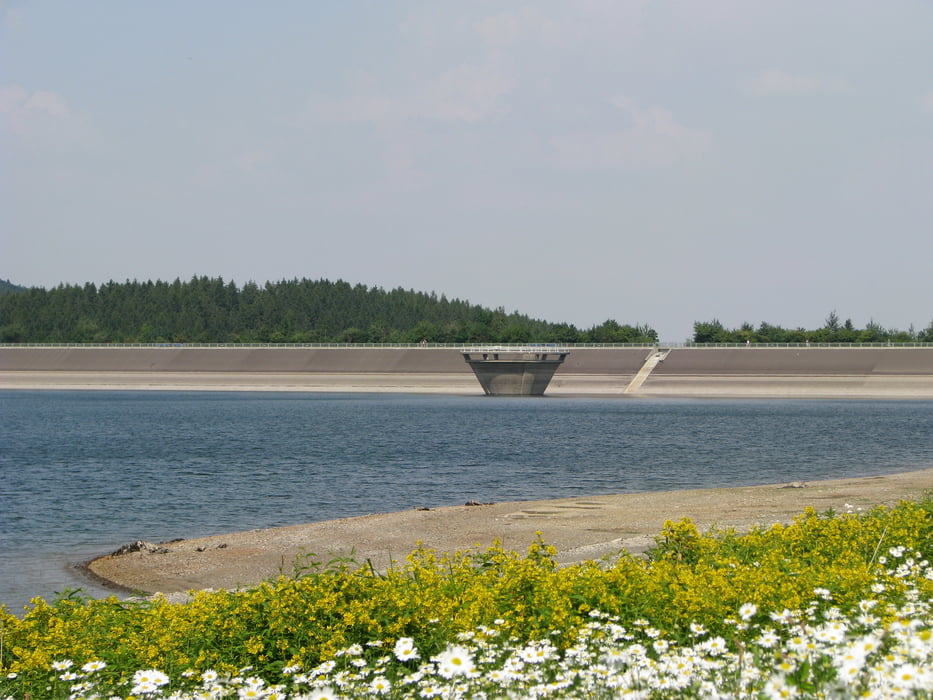
Eine schöne Panoramatour durch das Innerstetal. Ideal für eine schnelle stechschritt runde. Es geht kaum Bergauf. Die Wege sind ein Mix aus Singletrails, Schotterpiste und Teerwege. Es gibt an der Innerstetalsperre einen Imbis (am Campingplatz) dort gibt es alles was das Herz begehrt, ist ein Geheimtip.
Further information at
http://www.seen.de/seebi/seedetails/Innerstetalsperre.htmlZemljevid in višinski profil izleta
Minimum height 148 m
Maximum height 272 m
Komentarji

Poti GPS
Trackpoints-
GPX / Garmin Map Source (gpx) download
-
TCX / Garmin Training Center® (tcx) download
-
CRS / Garmin Training Center® (crs) download
-
Google Earth (kml) download
-
G7ToWin (g7t) download
-
TTQV (trk) download
-
Overlay (ovl) download
-
Fugawi (txt) download
-
Kompass (DAV) Track (tk) download
-
List z izleti (pdf) download
-
Original file of the author (gpx) download
Add to my favorites
Remove from my favorites
Edit tags
Open track
My score
Rate

