

Die Tour startet in Siersburg an der Niedtalhalle. Es geht zum Oberlimbo mit Gp. Trail. Dann weiter zum Kreuz. Stellenweise fahren wir auf dem Idesbachpfad. Zum Gallen und Hirnberg folen wir den Hinweisschilder "Hirn-Gallenbergtour" (Leider sehr schlecht ausgeschildert)!!
Den Ihner Weiher wollen wir dann auch nicht auslassen und von dort gehts dann zum Druidenpfad.
Durch Niedtal gehts dann weider zurück nach Siersburg an die Niedtalhalle wo die Tour dann auch endet.
Die Wackenmühle und der Siersburger Campingplatz laden dann auch zu einer Stärkung ein.
Schade das man hier nicht mehr Fotos hochladen kann!!
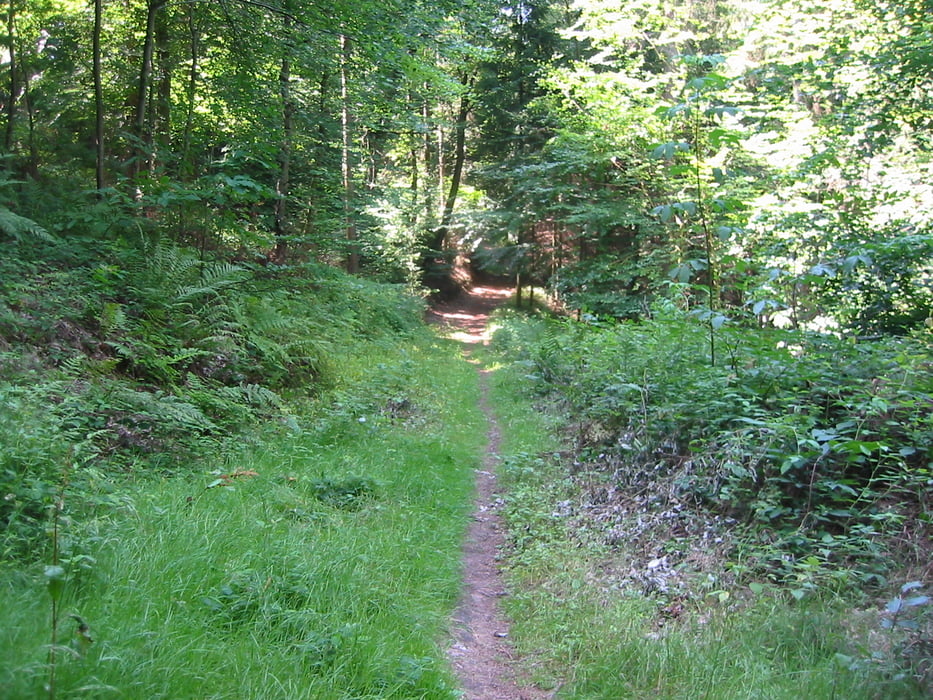
Galerija izletov


Zemljevid in višinski profil izleta
Minimum height 179 m
Maximum height 384 m
More about the tour author
|
|
Biker-Tommy |
Komentarji

Poti GPS
Trackpoints-
GPX / Garmin Map Source (gpx) download
-
TCX / Garmin Training Center® (tcx) download
-
CRS / Garmin Training Center® (crs) download
-
Google Earth (kml) download
-
G7ToWin (g7t) download
-
TTQV (trk) download
-
Overlay (ovl) download
-
Fugawi (txt) download
-
Kompass (DAV) Track (tk) download
-
List z izleti (pdf) download
-
Original file of the author (gpx) download
More about the tour author
|
|
Biker-Tommy |
Add to my favorites
Remove from my favorites
Edit tags
Open track
My score
Rate