
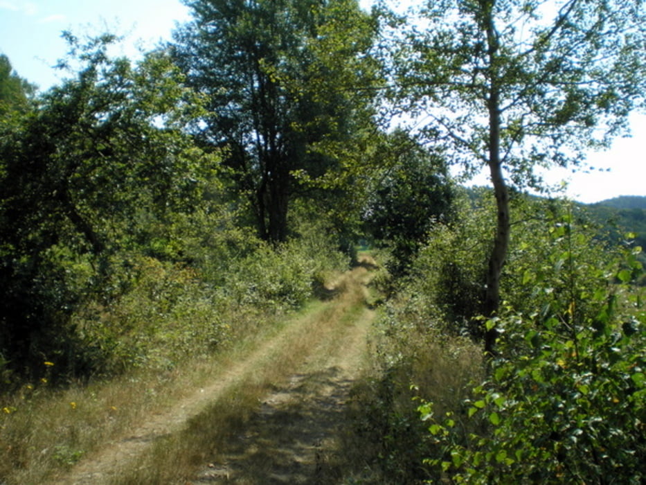

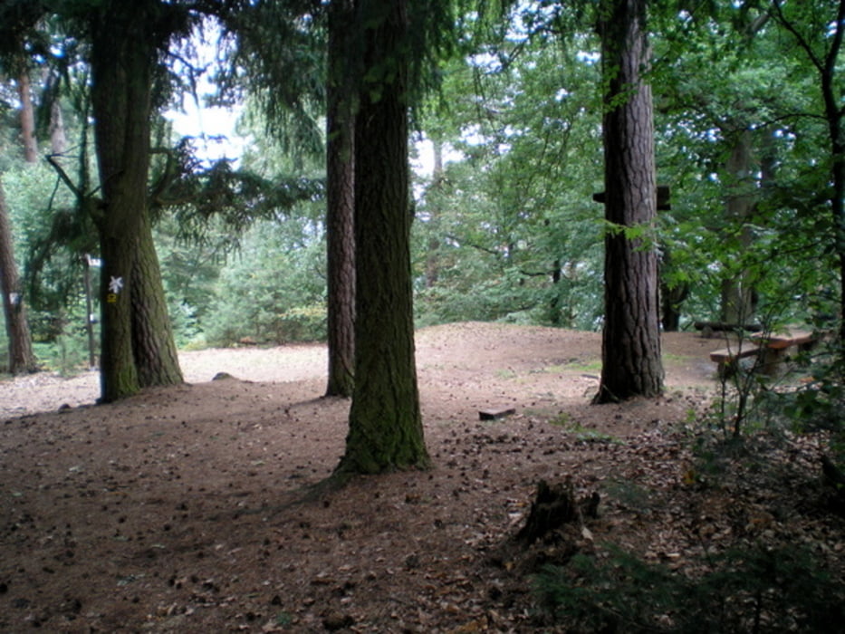
Eine weitere gelungene Wanderung aus der Extratourreihe
Further information at
http://www.wetter-hessen.de/w3a/cms/Tourismus/Wanderungen/Extratour_Stirnhelle/index.22576.html;jsessionid=8AD0B5C05F898F5C1A8218EB52E9C578Galerija izletov


Zemljevid in višinski profil izleta
Minimum height 183 m
Maximum height 401 m
More about the tour author
|
|
Heinrichs |
Komentarji

Am Besten den Wegpunkt N50 54.653 E8 46.680 unter http://maps.google.de/maps?hl=de&tab=wl eingeben und sich eine Wegbeschreibung ausdrucken.
Poti GPS
Trackpoints-
GPX / Garmin Map Source (gpx) download
-
TCX / Garmin Training Center® (tcx) download
-
CRS / Garmin Training Center® (crs) download
-
Google Earth (kml) download
-
G7ToWin (g7t) download
-
TTQV (trk) download
-
Overlay (ovl) download
-
Fugawi (txt) download
-
Kompass (DAV) Track (tk) download
-
List z izleti (pdf) download
-
Original file of the author (gpx) download
More about the tour author
|
|
Heinrichs |
Add to my favorites
Remove from my favorites
Edit tags
Open track
My score
Rate