
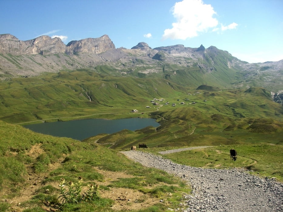

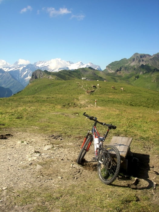
Der Länste Singletrail der Schweiz. Ab Stöckalp (1000m) mit der Gondel nach Melchsee-Frutt (1900m). Östlich vom Melchsee zum Tannsee. Über den Grat zum Balmeregghorn (2200m). Bergflanke südwestlich entlang bis Planplatten (2200m). Nordwest über Hääggen nach Käserstatt (1800m). Hoch zum Gibel (2000m). Abfahrt nord und ab Stalden west bis Lungern (750m), wahlweise Strasse oder mässig fahrbarer Wanderweg. Der Wahnsinn!!!
Further information at
http://www.veloparadies.ch/Galerija izletov


Zemljevid in višinski profil izleta
Minimum height 749 m
Maximum height 2241 m
More about the tour author
|
|
meQ |
Komentarji

Luzern, Richtung Sarnen/Interlaken. Melchsee-Frutt.
Poti GPS
Trackpoints-
GPX / Garmin Map Source (gpx) download
-
TCX / Garmin Training Center® (tcx) download
-
CRS / Garmin Training Center® (crs) download
-
Google Earth (kml) download
-
G7ToWin (g7t) download
-
TTQV (trk) download
-
Overlay (ovl) download
-
Fugawi (txt) download
-
Kompass (DAV) Track (tk) download
-
List z izleti (pdf) download
-
Original file of the author (gpx) download
More about the tour author
|
|
meQ |
Add to my favorites
Remove from my favorites
Edit tags
Open track
My score
Rate