Login

Si pozabil/a podatke za prijavo?

Cookies have to be accepted!
Your browser's cookie functionality is disabled. Please enable this functionality.

Not a member yet?

Register now
Login

Available for registred users only

Log in to use this feature.

Si pozabil/a podatke za prijavo?

Cookies have to be accepted!
Your browser's cookie functionality is disabled. Please enable this functionality.

Not a member yet?

Register now
Filter
Kategorije
Advanced filters
  • Dolžina (km)
  • Metri nadmorske višine
Shrani filter Reset filter

TrackRank

QRCode

Technical data

Dolžina9,0 km Metri nadmorske višine1088 m Way down1059 m Trajanje04:00 h:m Datum13.08.2009
Ocene Author Pokrajina Dejavnik zabave Kondicija Tehnika

Statistika

1190 Pogledi Ocene 125 Prenosi Povprečje
Rate
  • List z izleti
  • Prihod
  • Prenosi
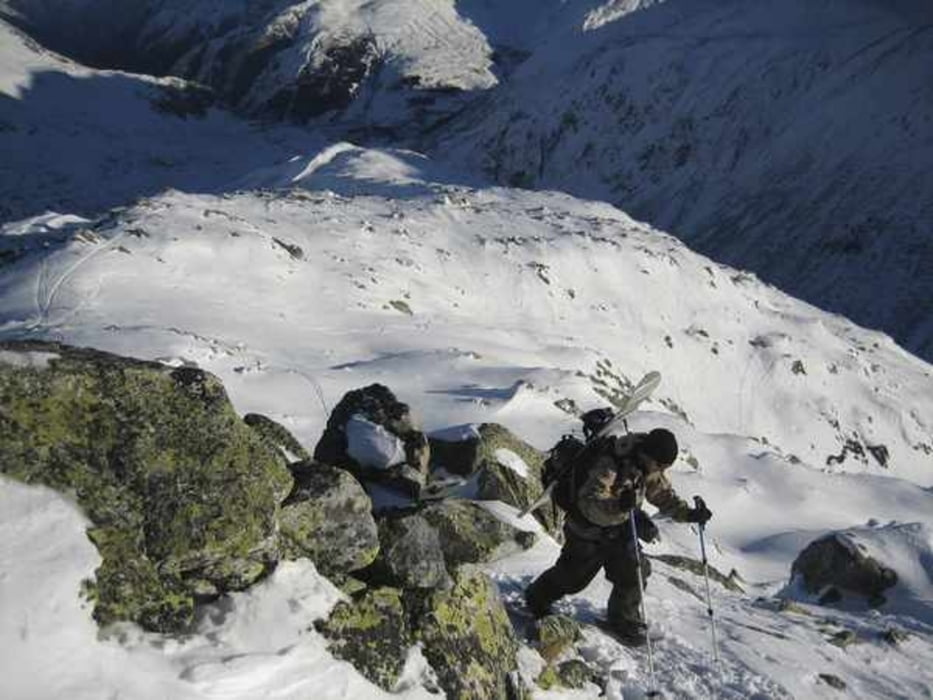
Aufstieg von Hospental entlang der Skilifte (nicht in Betrieb) sehr einfach und relativ flach. Gipfel vom Skidepot zu Fuss besteigen. Abfahrt nach Realp rasant und steil (ca. 30min.). Unterer Teil mit Erlenstauden bewachsen. Mit dem Zug von Realp zurück nach Hospental.

Further information at

http://winterhorn.ch

Galerija izletov

Zemljevid in višinski profil izleta

  • Open Street Map
  • Google
Minimum height 1511 m Maximum height 2619 m Prikaz podrobnosti

More about the tour author

meQ
Member since 2009

Send private message

Komentarji

Luzern Richtung Gotthard, Andermatt Gotthardpass, Hospental Talstation (Lifte nicht in Betrieb!!!).

Poti GPS

Trackpoints
  • GPX / Garmin Map Source (gpx) download
  • TCX / Garmin Training Center® (tcx) download
  • CRS / Garmin Training Center® (crs) download
  • Google Earth (kml) download
  • G7ToWin (g7t) download
  • TTQV (trk) download
  • Overlay (ovl) download
  • Fugawi (txt) download
  • Kompass (DAV) Track (tk) download
  • List z izleti (pdf) download
  • Original file of the author (gpx) download

More about the tour author

meQ
Member since 2009

Send private message
Share track
Add to my favorites
Remove from my favorites
Edit tags
My score
Rate
Izlet: Winterhorn (2661 M)
Vrsta: Smuči
Dolžina: 9,0 km
Evaluated on:
Trajanje:
Day(s)
Hour(s)
Minute(s)
Ocena: Pokrajina Dejavnik zabave Kondicija Tehnika