


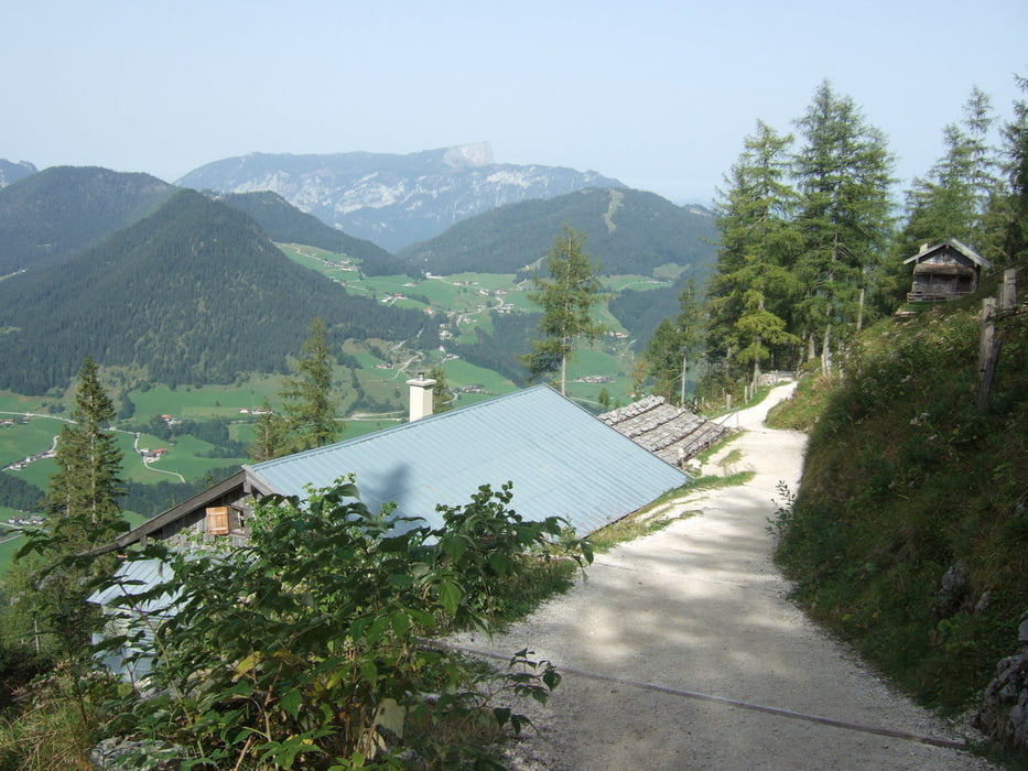
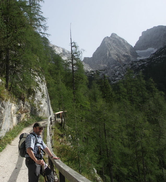
Das Blaueis
ist der nördlichste Gletscher in Deutschland und befindet sich unterhalb des 2607m hohen Hochkalter. Er gehört zur Gemeinde Ramsau im Berchtesgadener Land.
3 Stunden bequem hinauf, mit Rast in der Schärtenalm (1382 m) und der Blaueishütte (1650 m)
(Wirtschaftsweg, Bergpfad, Geröllpfad).
Hinunter geht es schneller: 2 Stunden mit weiterer Rast in der Schärtenalm.
Further information at
http://aufundab.wordpress.com/2008/09/11/das-blaueis-blaueisgletscherGalerija izletov


Zemljevid in višinski profil izleta
Minimum height 794 m
Maximum height 1677 m
More about the tour author
|
|
wiko99 |
Komentarji

Waldparkplatz Hintersee, Aus Richtung Ramsuau Rechts
Poti GPS
Trackpoints-
GPX / Garmin Map Source (gpx) download
-
TCX / Garmin Training Center® (tcx) download
-
CRS / Garmin Training Center® (crs) download
-
Google Earth (kml) download
-
G7ToWin (g7t) download
-
TTQV (trk) download
-
Overlay (ovl) download
-
Fugawi (txt) download
-
Kompass (DAV) Track (tk) download
-
List z izleti (pdf) download
-
Original file of the author (gpx) download
More about the tour author
|
|
wiko99 |
Add to my favorites
Remove from my favorites
Edit tags
Open track
My score
Rate