


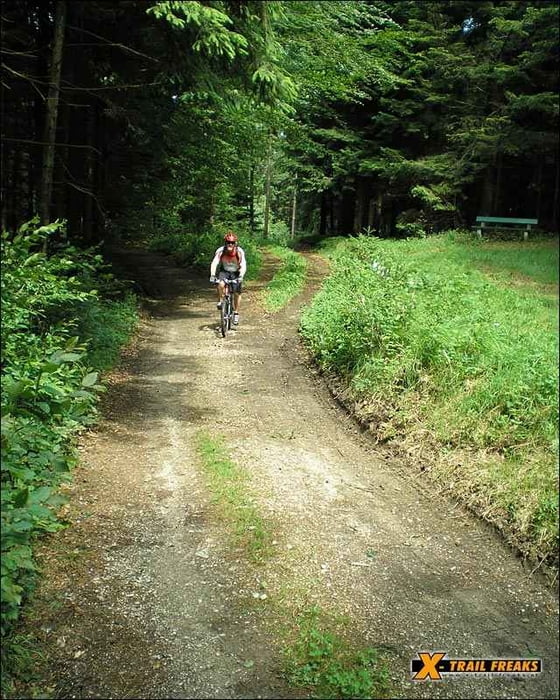
Diese Tour durch den Kobernauserwald ist sehr gut Beschildert. Man fährt Teile des bekannten Maria Schmoll Marathon in die entgegengesetzte Richtung. Es gibt 3 beschilderte Varianten - unsere GPS Aufzeichnung ist von der längsten beschilderten Tour. TIP: Wer sein Bike nach der Tour nicht einer "Generalwäsche" unterziehen möchte - sollte die Tour nicht nach einem Regentag fahren!
Further information at
http://www.x-trail-freaks.atGalerija izletov
Zemljevid in višinski profil izleta
Minimum height 476 m
Maximum height 650 m
More about the tour author
|
|
x-trail |
Komentarji
An der Bundesstraße von Ried nach Braunau biegen wir links Richtung Maria Schmolln ab. Die Tour startet direkt an der Wallfahrtskirche bergab in den Wald hinein.
Nähere Informationen unter:
http://www.maria-schmolln.at
Nähere Informationen unter:
http://www.maria-schmolln.at
Poti GPS
Trackpoints-
GPX / Garmin Map Source (gpx) download
-
TCX / Garmin Training Center® (tcx) download
-
CRS / Garmin Training Center® (crs) download
-
Google Earth (kml) download
-
G7ToWin (g7t) download
-
TTQV (trk) download
-
Overlay (ovl) download
-
Fugawi (txt) download
-
Kompass (DAV) Track (tk) download
-
List z izleti (pdf) download
-
Original file of the author (gpx) download
More about the tour author
|
|
x-trail |
Add to my favorites
Remove from my favorites
Edit tags
Open track
My score
Rate
Empfehlenswert