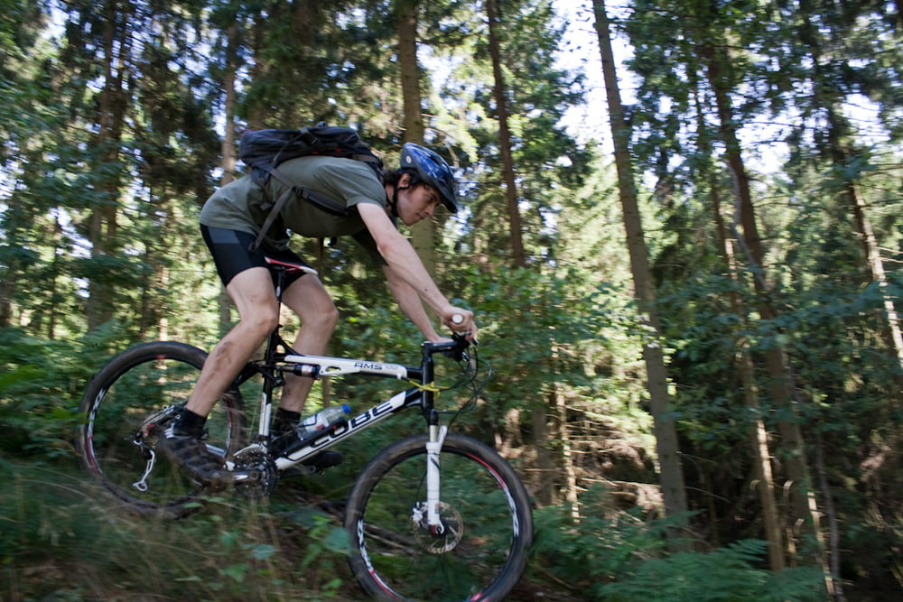
Einmal rund ums Neiletal
Von Ostlutter Kammweg Richtung Langelsheim -> Alte Bundesstraße -> in den Harz hoch (Waldweg) -> Hahausen Richtung Nauen durch den Wald -> auf dem Nauerberg Waldlehrpfad bis Nauen (Wurzelweg) -> auf dem Nauerberg weiter bis Neuwallmoden -> Wald Richtung Könneckenrode -> auf die andere Seite der Bundesstraße welchsen optionaler Trail -> Sandsteinbruch bis nach Ostlutter
Kann auch entgegengesetzt gefahren werden, denke aber so hat man die bessern Abfahrten
Further information at
http://www.sg-lutter.de/Zemljevid in višinski profil izleta
Minimum height 175 m
Maximum height 517 m
Komentarji

Am besten startet man in Ostlutter.
Poti GPS
Trackpoints-
GPX / Garmin Map Source (gpx) download
-
TCX / Garmin Training Center® (tcx) download
-
CRS / Garmin Training Center® (crs) download
-
Google Earth (kml) download
-
G7ToWin (g7t) download
-
TTQV (trk) download
-
Overlay (ovl) download
-
Fugawi (txt) download
-
Kompass (DAV) Track (tk) download
-
List z izleti (pdf) download
-
Original file of the author (gpx) download
Add to my favorites
Remove from my favorites
Edit tags
Open track
My score
Rate


