Login

Si pozabil/a podatke za prijavo?

Cookies have to be accepted!
Your browser's cookie functionality is disabled. Please enable this functionality.

Not a member yet?

Register now
Login

Available for registred users only

Log in to use this feature.

Si pozabil/a podatke za prijavo?

Cookies have to be accepted!
Your browser's cookie functionality is disabled. Please enable this functionality.

Not a member yet?

Register now
Filter
Kategorije
Advanced filters
  • Dolžina (km)
  • Metri nadmorske višine
Shrani filter Reset filter

TrackRank

QRCode

Technical data

Dolžina32,2 km Metri nadmorske višine716 m Way down708 m Trajanje00:00 h:m Datum24.08.2009
Ocene Author Pokrajina Dejavnik zabave Kondicija Tehnika

Statistika

137 Pogledi Ocene 17 Prenosi Povprečje
Rate
  • List z izleti
  • Prihod
  • Prenosi

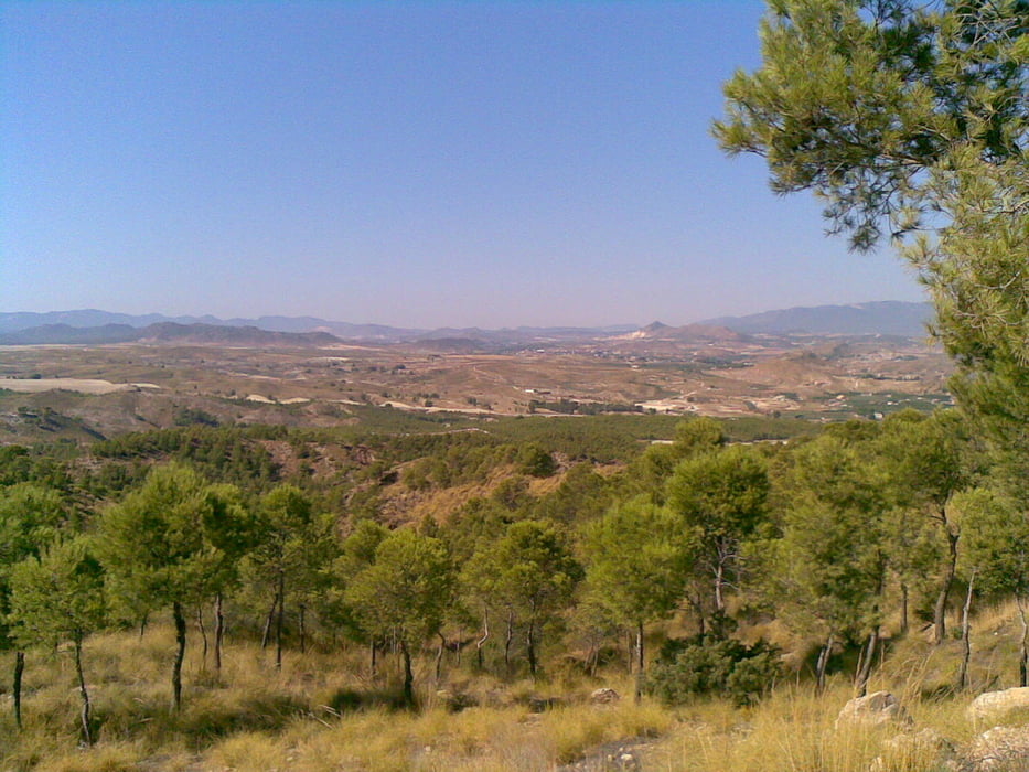
Esta ruta es prácticamente la misma que la de la presa del Cárcabo, sólo que esta vez sólo llegamos a la altura del pie del Almorchón.

Parece que en la primera subida a los depósitos falló durante unos minutos el GPS, por eso se ve esa "pared" en el perfil. Creo que el problema es que enchufé el gps muy tarde, para que funcione bien parece que hay que conectarlo diez minutos antes de empezar la ruta.

Galerija izletov

Zemljevid in višinski profil izleta

  • Open Street Map
  • Google
Minimum height 294 m Maximum height 495 m Prikaz podrobnosti

More about the tour author

agustincb
Member since 2009

Send private message

Komentarji

Poti GPS

Trackpoints
  • GPX / Garmin Map Source (gpx) download
  • TCX / Garmin Training Center® (tcx) download
  • CRS / Garmin Training Center® (crs) download
  • Google Earth (kml) download
  • G7ToWin (g7t) download
  • TTQV (trk) download
  • Overlay (ovl) download
  • Fugawi (txt) download
  • Kompass (DAV) Track (tk) download
  • List z izleti (pdf) download
  • Original file of the author (gpx) download

More about the tour author

agustincb
Member since 2009

Send private message
Share track
Add to my favorites
Remove from my favorites
Edit tags
My score
Rate
Izlet: El Almorchón
Vrsta: Gorsko kolo
Dolžina: 32,2 km
Evaluated on:
Trajanje:
Day(s)
Hour(s)
Minute(s)
Ocena: Pokrajina Dejavnik zabave Kondicija Tehnika