
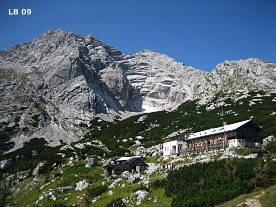

Die Hesshütte liegt im sehr schönen obersteirischen Nationalpark Gesäuse auf 1.699m. Erbaut wurde die Hesshütte im Jahre 1893 am Ennsecksattel zwischen den Gesäusebergen Hochtor und Hochzinödl. Der für Familien geeignetste und einfacherere Wanderweg ( Weg Nr.: 601 ) auf die Hesshütte beginnt im Johnsbachtal beim Gasthaus Kölbl auf 878m. Die Gehzeit beträgt hinauf zur Hesshütte ca. 3 Stunden und herunter 2 bis 2,5 Stunden. Da der Wanderweg sehr felsig und steinig ist sind Wanderschuhe sehr zu empfehlen.
Weitere Infos und Fotos zum Wandern Hesshütte Steiermark findest du auf
biketours4you.at
Zemljevid in višinski profil izleta
Minimum height 871 m
Maximum height 1732 m
More about the tour author
|
|
Trek1400d |
Komentarji

Poti GPS
Trackpoints-
GPX / Garmin Map Source (gpx) download
-
TCX / Garmin Training Center® (tcx) download
-
CRS / Garmin Training Center® (crs) download
-
Google Earth (kml) download
-
G7ToWin (g7t) download
-
TTQV (trk) download
-
Overlay (ovl) download
-
Fugawi (txt) download
-
Kompass (DAV) Track (tk) download
-
List z izleti (pdf) download
-
Original file of the author (gpx) download
More about the tour author
|
|
Trek1400d |
Add to my favorites
Remove from my favorites
Edit tags
Open track
My score
Rate