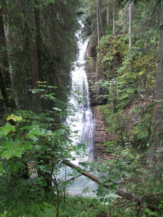
Streckenverlauf:
Startpunkt ist der Abzweig (864m) zum Lochbachtal bei Lochwiesen - Dinigörgenalpe (1280m) - Toniskopfalpe - MTB-Schiebestrecke - Rohrmoos (1070m) - Hirschgrund - Krähenberg (930m) - Miesbodenalpe (1187m) - MTB-Schieb-Tragestrecke - Gerachsattel (1752m) - Schwarzwasserhütte - Schwarzwassertal - Wäldele - Hörnlepass (1169m) - Tiefenbach
Galerija izletov
Zemljevid in višinski profil izleta
Minimum height 808 m
Maximum height 1745 m
Komentarji
Poti GPS
Trackpoints-
GPX / Garmin Map Source (gpx) download
-
TCX / Garmin Training Center® (tcx) download
-
CRS / Garmin Training Center® (crs) download
-
Google Earth (kml) download
-
G7ToWin (g7t) download
-
TTQV (trk) download
-
Overlay (ovl) download
-
Fugawi (txt) download
-
Kompass (DAV) Track (tk) download
-
List z izleti (pdf) download
-
Original file of the author (gpx) download
Add to my favorites
Remove from my favorites
Edit tags
Open track
My score
Rate


Schiebestrecke
Ich werde die Tour auf jeden Fall wiederholen, bei dann hoffentlich besserer Aussicht.
Herzliche Grüße
Wolfgang