Login

Si pozabil/a podatke za prijavo?

Cookies have to be accepted!
Your browser's cookie functionality is disabled. Please enable this functionality.

Not a member yet?

Register now
Login

Available for registred users only

Log in to use this feature.

Si pozabil/a podatke za prijavo?

Cookies have to be accepted!
Your browser's cookie functionality is disabled. Please enable this functionality.

Not a member yet?

Register now
Filter
Kategorije
Advanced filters
  • Dolžina (km)
  • Metri nadmorske višine
Shrani filter Reset filter

TrackRank

QRCode

Technical data

Dolžina5,7 km Metri nadmorske višine419 m Way down0 m Trajanje00:00 h:m Datum21.07.2006
Ocene Author Pokrajina Dejavnik zabave Kondicija Tehnika

Statistika

654 Pogledi Ocene 145 Prenosi Povprečje
Rate
  • List z izleti
  • Prihod
  • Prenosi
Leichte ca 1std

Zemljevid in višinski profil izleta

  • Open Street Map
  • Google
Minimum height 1063 m Maximum height 1496 m Prikaz podrobnosti

More about the tour author

Ossi
Member since 2006

Send private message

Komentarji

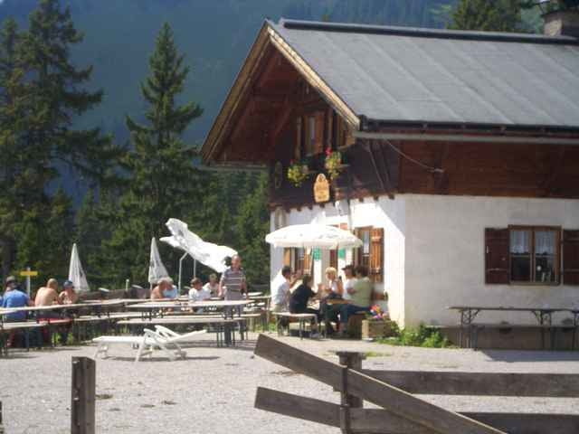
von Reutte Richtung Innsbruck kurz nach Bichlbach auf rechter seite parkplatz parken über straße gehen und durch einen Bahnunterführung .

Poti GPS

Trackpoints
  • GPX / Garmin Map Source (gpx) download
  • TCX / Garmin Training Center® (tcx) download
  • CRS / Garmin Training Center® (crs) download
  • Google Earth (kml) download
  • G7ToWin (g7t) download
  • TTQV (trk) download
  • Overlay (ovl) download
  • Fugawi (txt) download
  • Kompass (DAV) Track (tk) download
  • List z izleti (pdf) download
  • Original file of the author (gpx) download

More about the tour author

Ossi
Member since 2006

Send private message
Share track
Add to my favorites
Remove from my favorites
Edit tags
My score
Rate
Izlet: Tuftlalm
Vrsta: Gorsko kolo
Dolžina: 5,7 km
Evaluated on:
Trajanje:
Day(s)
Hour(s)
Minute(s)
Ocena: Pokrajina Dejavnik zabave Kondicija Tehnika