Login

Si pozabil/a podatke za prijavo?

Cookies have to be accepted!
Your browser's cookie functionality is disabled. Please enable this functionality.

Not a member yet?

Register now
Login

Available for registred users only

Log in to use this feature.

Si pozabil/a podatke za prijavo?

Cookies have to be accepted!
Your browser's cookie functionality is disabled. Please enable this functionality.

Not a member yet?

Register now
Filter
Kategorije
Advanced filters
  • Dolžina (km)
  • Metri nadmorske višine
Shrani filter Reset filter

TrackRank

QRCode

Technical data

Dolžina102,7 km Metri nadmorske višine2749 m Way down2733 m Trajanje08:00 h:m Datum09.09.2009
Ocene Author Pokrajina Dejavnik zabave Kondicija Tehnika

Statistika

670 Pogledi Ocene 142 Prenosi Povprečje
Rate
  • List z izleti
  • Prihod
  • Prenosi
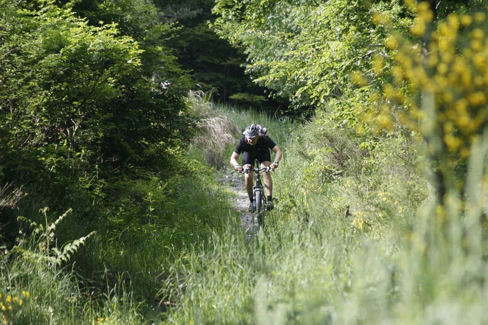
Vom Eyachtal startend zum Aufwärmen die Strasse hoch zum Dobel. Dann runter nach Herrenalp und weiter über Teufelsmühle Richtung Toter Mann. Links hinab auf dem Westweg, gut 400hm Trailabfahrt nach Forbach. AUfstieg auf Badner Höh (unterwegs kann an mindest. 2 Brunnen Wasser getankt werden). Anschließend wieder zurück über Raumünzach und Enzklösterle das Enztal ausrollen. Alles wundebar - 7h Fahrzeit 8 mit Pause.

Galerija izletov

Zemljevid in višinski profil izleta

  • Open Street Map
  • Google
Minimum height 314 m Maximum height 1012 m Prikaz podrobnosti

More about the tour author

pb
Member since 2008

Send private message

Komentarji

Poti GPS

Trackpoints
  • GPX / Garmin Map Source (gpx) download
  • TCX / Garmin Training Center® (tcx) download
  • CRS / Garmin Training Center® (crs) download
  • Google Earth (kml) download
  • G7ToWin (g7t) download
  • TTQV (trk) download
  • Overlay (ovl) download
  • Fugawi (txt) download
  • Kompass (DAV) Track (tk) download
  • List z izleti (pdf) download
  • Original file of the author (gpx) download

More about the tour author

pb
Member since 2008

Send private message
Share track
Add to my favorites
Remove from my favorites
Edit tags
My score
Rate
Izlet: Teufelsmühle Murgtal
Vrsta: Gorsko kolo
Dolžina: 102,7 km
Evaluated on:
Trajanje:
Day(s)
Hour(s)
Minute(s)
Ocena: Pokrajina Dejavnik zabave Kondicija Tehnika