
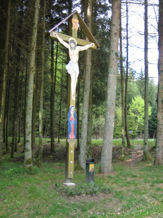

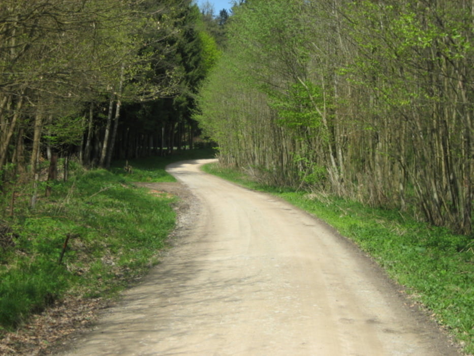
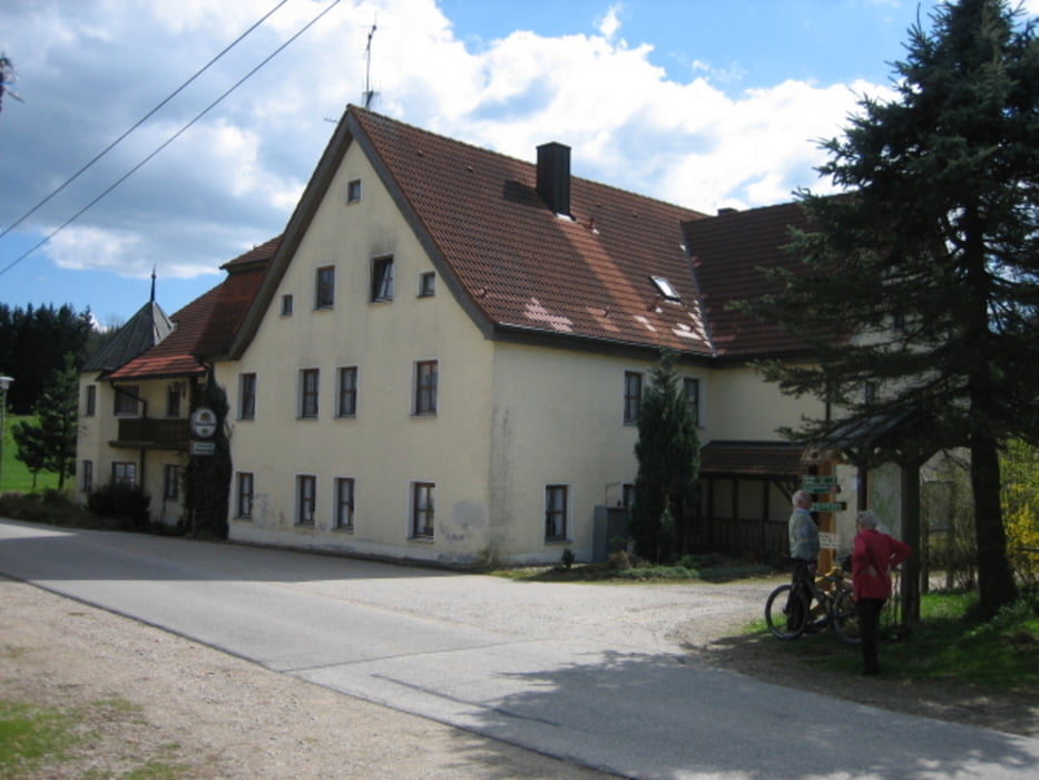
Diese Strecke verläuft zu Beginn wie Tour 1 jedoch fährt man in Oberzeitldorn weiter über Pondorf nach Pillnach. Von nun an geht es ein paar Kilometer auf Forststraßen / Wirtschaftswegen Bergauf bis zum Gasthof Schiederhof. Jetzt folgt ein Wechsel aus Teer u. Forststraßen der durch die Ortschaften Rohrloh - Pichlberg - Hauptenberg - Utenzell - Kragenroth - Hirschberg bis nach Falkenfels geht. Bei Kilometer 39 kommt man auf einen Streckenteil, der evtl. schon aus Tour 4 bekannt ist. Dieser führt wieder über Hagenzell - Oberniedersteinach, dann durch den Wald bis kurz vor Aufroth. Jetzt geht es auf Teerstraßen über Thalstetten - Kirchroth wieder zurück nach Straubing.
Galerija izletov
Zemljevid in višinski profil izleta
Minimum height 291 m
Maximum height 717 m
More about the tour author
|
|
sito68 |
Komentarji

Poti GPS
Trackpoints-
GPX / Garmin Map Source (gpx) download
-
TCX / Garmin Training Center® (tcx) download
-
CRS / Garmin Training Center® (crs) download
-
Google Earth (kml) download
-
G7ToWin (g7t) download
-
TTQV (trk) download
-
Overlay (ovl) download
-
Fugawi (txt) download
-
Kompass (DAV) Track (tk) download
-
List z izleti (pdf) download
-
Original file of the author (gpx) download
More about the tour author
|
|
sito68 |
Add to my favorites
Remove from my favorites
Edit tags
Open track
My score
Rate