
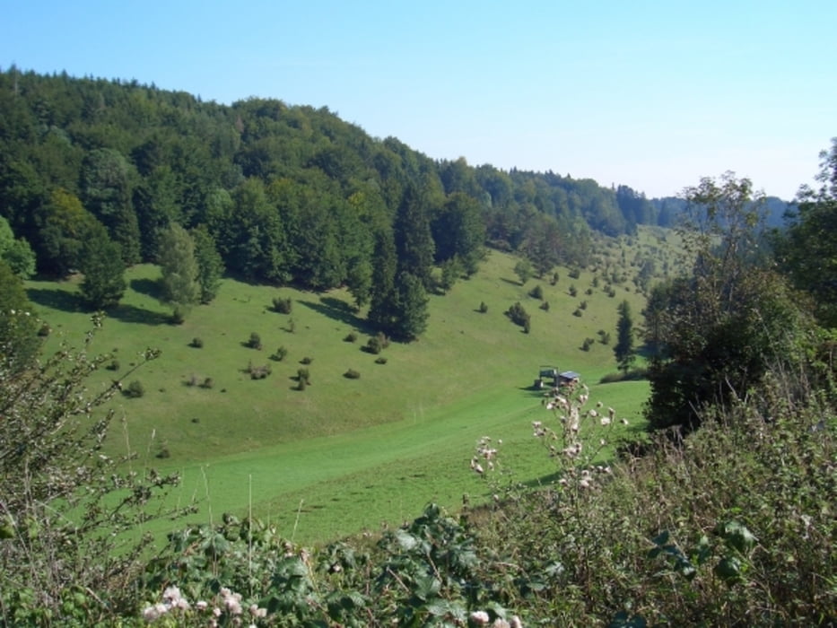

Landschaftlich sehr schöne Tour durch typische Landschaften der Schwäbischen Alb, für Geniesser.
Die Tour verläuft überwiegend auf befestigten Wegen. Sie führt von Münsingen durchs Lautertal hoch bis nach Hohenstein.
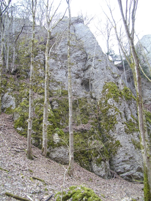
Dann verläuft die Tour in wirklich schöner Gegend durch Wald und Heidelandschaft bis fast nach Trochtelfingen. Dann wieder zurück nach Hohenstein. Durch Wälder, Trockentäler und über Felder geht es abseits von Strassen wieder ins Lautertal.
Wieder durch den Wald nicht zu steil geht es hoch Richtung Münsingen an den Ausgangspunkt.
Galerija izletov
Zemljevid in višinski profil izleta
Minimum height 628 m
Maximum height 818 m
More about the tour author

|
thnau |
Komentarji

Poti GPS
Trackpoints-
GPX / Garmin Map Source (gpx) download
-
TCX / Garmin Training Center® (tcx) download
-
CRS / Garmin Training Center® (crs) download
-
Google Earth (kml) download
-
G7ToWin (g7t) download
-
TTQV (trk) download
-
Overlay (ovl) download
-
Fugawi (txt) download
-
Kompass (DAV) Track (tk) download
-
List z izleti (pdf) download
-
Original file of the author (gpx) download
More about the tour author
|
|
thnau |
Add to my favorites
Remove from my favorites
Edit tags
Open track
My score
Rate