

Galerija izletov


Zemljevid in višinski profil izleta
Minimum height -119 m
Maximum height 305 m
More about the tour author
|
|
uwehecki |
Komentarji

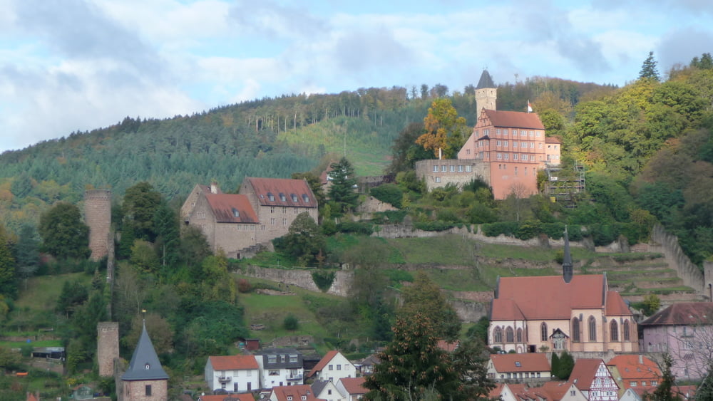
Durch den schönsten Odenwald,vorbei an Beerfelden durch das Finkenbachtal,
kurz vor Hirschhorn noch an der Kreuzung Brombach/Rothenberg Wasserflaschen auffüllen (achtung wartezeit einplanen ist immer mächtig viel los.
Dann ca. 800 Meter weiter links Parkplatz suchen, oder gleich hoch zum Schloß fahren, und dann geht´s los!
übrigens wenn es wieder zurück geht ist auf dem Weg in Hainbrunn ein sehr gutes Bürgerliches Lokal
(war zum ersten mal drin) aber das hat sich gelohnt tolle Wildgerichte, hoffe das beim nächsten mal die anderen Gerichte genauso gut sind! ein echtes "LOB" an die Küche! "zur Traube" wenn ich mich recht erinnere☺
Poti GPS
Trackpoints-
GPX / Garmin Map Source (gpx) download
-
TCX / Garmin Training Center® (tcx) download
-
CRS / Garmin Training Center® (crs) download
-
Google Earth (kml) download
-
G7ToWin (g7t) download
-
TTQV (trk) download
-
Overlay (ovl) download
-
Fugawi (txt) download
-
Kompass (DAV) Track (tk) download
-
List z izleti (pdf) download
-
Original file of the author (gpx) download
More about the tour author
|
|
uwehecki |
Add to my favorites
Remove from my favorites
Edit tags
Open track
My score
Rate