


Startpunkt ist der Wanderparkplatz in Neidlingen. In mehreren Schleifen geht es über den Michaelshof hoch zur Albhochfläche. Diese erreicht man über einen schmalen Pfad-Schiebestrecke. Über Heidelandschaft geht es an Randeck vorbei zu Bahnhöfle. Dort hinunter zum Neidlinger Wasserfall. Wieder über kleine Schleifen zurück zum Parkplatz.
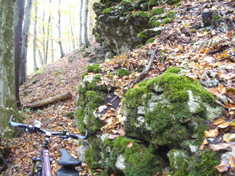
Die Schiebestrecke führt über einen sehr schmalen Pfad mit quer liegenden Baumstämmen steil nach oben. Dort an Felsen vorbei bis zur Albhochfläche. Dort angekommen öffnet sich ein traumhaftes Panorama über Heidelandschaften hinunter zum Randecker Maar.
Galerija izletov
Zemljevid in višinski profil izleta
Minimum height 464 m
Maximum height 804 m
More about the tour author

|
thnau |
Komentarji

Poti GPS
Trackpoints-
GPX / Garmin Map Source (gpx) download
-
TCX / Garmin Training Center® (tcx) download
-
CRS / Garmin Training Center® (crs) download
-
Google Earth (kml) download
-
G7ToWin (g7t) download
-
TTQV (trk) download
-
Overlay (ovl) download
-
Fugawi (txt) download
-
Kompass (DAV) Track (tk) download
-
List z izleti (pdf) download
-
Original file of the author (gpx) download
More about the tour author
|
|
thnau |
Add to my favorites
Remove from my favorites
Edit tags
Open track
My score
Rate