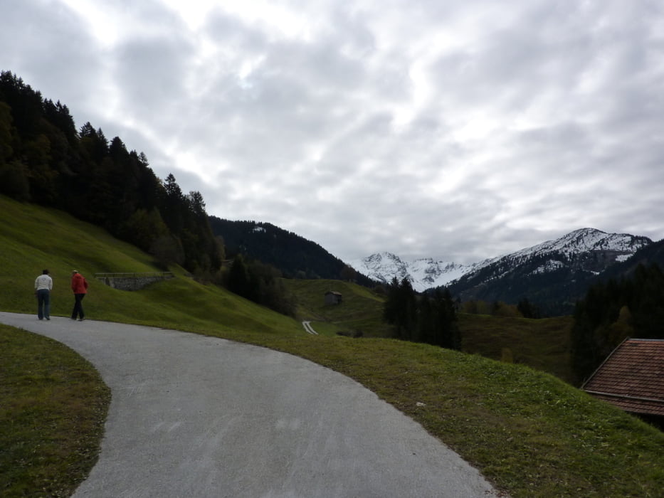
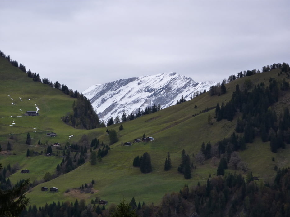
Hinter der kleinen Ortschaft Sigg geht's erst mal mässig bergan in Richtung Süden. Nach ca. 2 km biegen wir nach rechts ab, steil hinunter in den Bärentobel und folgen dabei den Wegweisern nach Schluocht.
Galerija izletov
Zemljevid in višinski profil izleta
Minimum height 1165 m
Maximum height 1474 m
Komentarji

Mit dem Auto nach Grüsch und von dort weiter in Richtung Danusa/Sigg. Hinter Sigg Auto am Strassenrand abstellen und los geht's.
Poti GPS
Trackpoints-
GPX / Garmin Map Source (gpx) download
-
TCX / Garmin Training Center® (tcx) download
-
CRS / Garmin Training Center® (crs) download
-
Google Earth (kml) download
-
G7ToWin (g7t) download
-
TTQV (trk) download
-
Overlay (ovl) download
-
Fugawi (txt) download
-
Kompass (DAV) Track (tk) download
-
List z izleti (pdf) download
-
Original file of the author (gpx) download
Add to my favorites
Remove from my favorites
Edit tags
Open track
My score
Rate


