


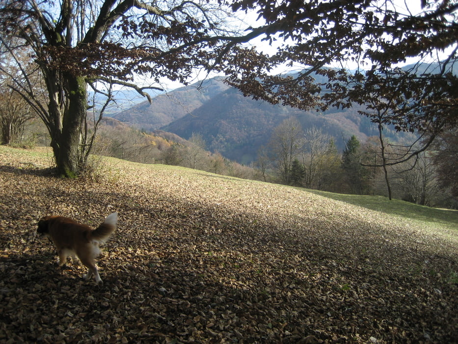
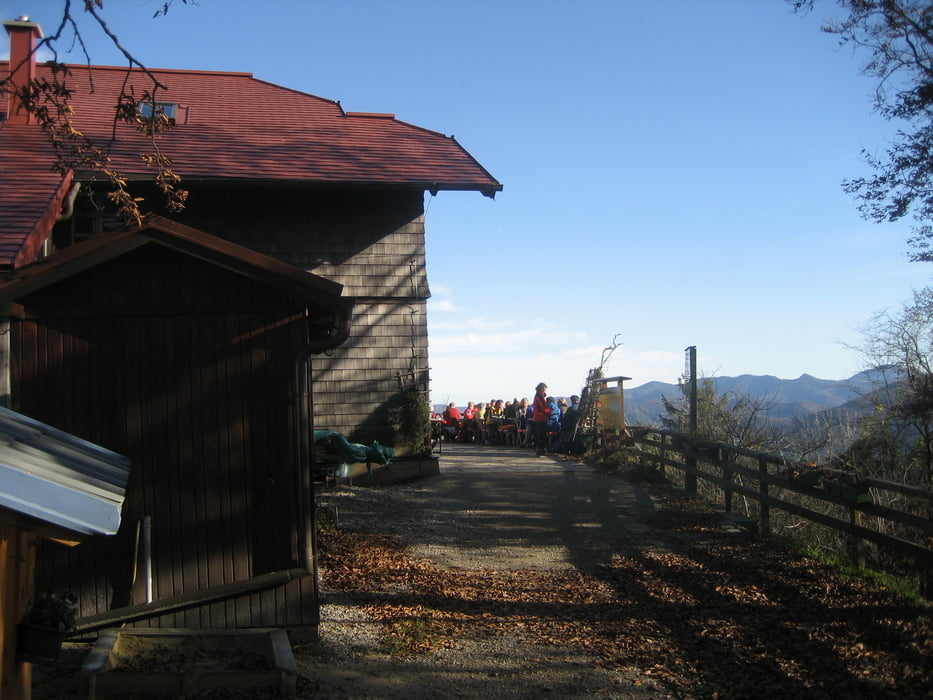
Absoluter Top-Tipp für einen Aufstieg zur Kaiserkogelhütte. Vom Parkplatz gut beschildert den Weg 652 bis zur Hütte. Zuerst Anstig auf den Geisberg ... rund 200 Höhenmeter .. dann ein gemütliches bergab und bergauf. Schöne Aussicht bei klarem Wetter.
Further information at
http://www.bergsteigen.at/de/huettendetail.aspx?ID=40Galerija izletov
Zemljevid in višinski profil izleta
Minimum height 539 m
Maximum height 765 m
More about the tour author
|
|
Sieberer61 |
Komentarji

Auf der Mariazellerstraße von St. Pölten kommend bis zur Kreuzung Rotheau. Hier rechts rein nach Eschenau ... durch Eschenau durch ... dann die Straße entlang rund 4 km bis zur Anhöhe Geiseben ... dort findet man einen kleinen Parkplatz.
Poti GPS
Trackpoints-
GPX / Garmin Map Source (gpx) download
-
TCX / Garmin Training Center® (tcx) download
-
CRS / Garmin Training Center® (crs) download
-
Google Earth (kml) download
-
G7ToWin (g7t) download
-
TTQV (trk) download
-
Overlay (ovl) download
-
Fugawi (txt) download
-
Kompass (DAV) Track (tk) download
-
List z izleti (pdf) download
-
Original file of the author (gpx) download
More about the tour author
|
|
Sieberer61 |
Add to my favorites
Remove from my favorites
Edit tags
Open track
My score
Rate