

Los geht’s in Siersburg an der Hall. Wie fahren über den Niedtalradweg Richtung Hemmersdorf. Im Grafental biegen wie auf den "Druidenpfad" ab. Es ist Vorsicht geboten, durch das Regenwetter ist der Lehm sehr schmierig und das Laub tut dann noch den Rest dazu. Vorbei an den Keltenhäuser und Schaumeiler geht’s dann nach Schwerdroff. An der Burg Esch vorbei erreichen wir dann Oberesch. Dann geht es weiter über Feldwirtschftswege nach Biringen bis Gerfangen. Weiter geht’s durch den Gerlfanger Wald. Die Trials lassen wie wieder aus und fahren über die Waldautobahnen nach Eimersdorf. Von nun an geht’s Bergab bis nach Siersburg an die Hall. Alles in allem eine schöne Bikertour.
Galerija izletov


Zemljevid in višinski profil izleta
Minimum height 174 m
Maximum height 357 m
More about the tour author
|
|
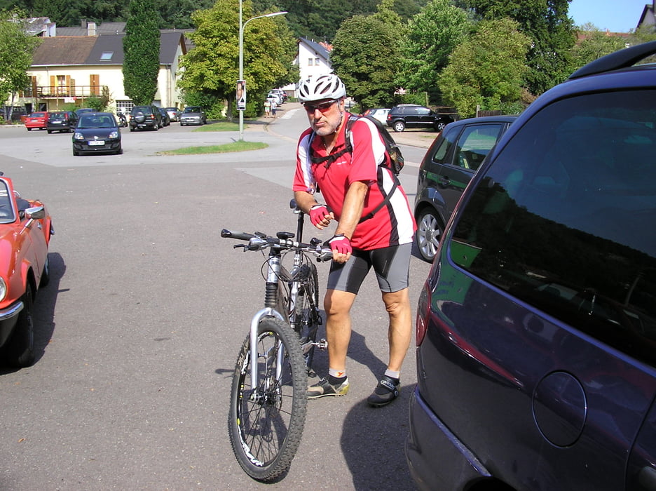
Biker-Tommy |
Komentarji

Poti GPS
Trackpoints-
GPX / Garmin Map Source (gpx) download
-
TCX / Garmin Training Center® (tcx) download
-
CRS / Garmin Training Center® (crs) download
-
Google Earth (kml) download
-
G7ToWin (g7t) download
-
TTQV (trk) download
-
Overlay (ovl) download
-
Fugawi (txt) download
-
Kompass (DAV) Track (tk) download
-
List z izleti (pdf) download
-
Original file of the author (gpx) download
More about the tour author
|
|
Biker-Tommy |
Add to my favorites
Remove from my favorites
Edit tags
Open track
My score
Rate