Login

Si pozabil/a podatke za prijavo?

Cookies have to be accepted!
Your browser's cookie functionality is disabled. Please enable this functionality.

Not a member yet?

Register now
Login

Available for registred users only

Log in to use this feature.

Si pozabil/a podatke za prijavo?

Cookies have to be accepted!
Your browser's cookie functionality is disabled. Please enable this functionality.

Not a member yet?

Register now
Filter
Kategorije
Advanced filters
  • Dolžina (km)
  • Metri nadmorske višine
Shrani filter Reset filter

TrackRank

QRCode

Technical data

Dolžina32,3 km Metri nadmorske višine501 m Way down490 m Trajanje02:00 h:m Datum29.11.2009
Ocene Author Pokrajina Dejavnik zabave Kondicija Tehnika

Statistika

448 Pogledi Ocene 77 Prenosi Povprečje
Rate
  • List z izleti
  • Prihod
  • Prenosi

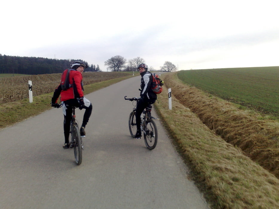
Sehr abwechslungsreiche Tour im Nord-Westen von Altomünster. Meist geht es über Forststraßen, Singeltrails und auch manchmal über Wiesen.


Sehr zu empfehlen !!

Galerija izletov

Zemljevid in višinski profil izleta

  • Open Street Map
  • Google
Minimum height 452 m Maximum height 543 m Prikaz podrobnosti

More about the tour author

Cube Biker 69
Member since 2008

Send private message

Komentarji

Poti GPS

Trackpoints
  • GPX / Garmin Map Source (gpx) download
  • TCX / Garmin Training Center® (tcx) download
  • CRS / Garmin Training Center® (crs) download
  • Google Earth (kml) download
  • G7ToWin (g7t) download
  • TTQV (trk) download
  • Overlay (ovl) download
  • Fugawi (txt) download
  • Kompass (DAV) Track (tk) download
  • List z izleti (pdf) download
  • Original file of the author (gpx) download

More about the tour author

Cube Biker 69
Member since 2008

Send private message
Share track
Add to my favorites
Remove from my favorites
Edit tags
My score
Rate
Izlet: 29.11.2009 Tour
Vrsta: Gorsko kolo
Dolžina: 32,3 km
Evaluated on:
Trajanje:
Day(s)
Hour(s)
Minute(s)
Ocena: Pokrajina Dejavnik zabave Kondicija Tehnika