


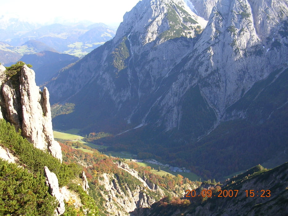
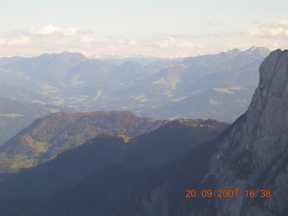
Die Tour beginnt am Parkplatz Grieseneralm. Dort kann man anschließend auch gemütlich und gut essen. Der Anfang ist recht beschwerlich. Wir wandern von 1000 auf 1500 Höhenmeter zum Stripsenjoch. Einmal angekommen gibt es auf der Alm gutes Essen. Nun gehen wir auf dem Kamm richtung Feldberg. Wer mag kann einen Abstecher auf den Stripsenkopf machen. Wir lassen ihn jedoch links liegen. Es empfiehlt sich mit Wanderstöcken zu Wandern, da der Weg nach dem Feldberg geröllig und eng wird. Man hat eine super Aussicht auf der ganzen Strecke.
Galerija izletov


Zemljevid in višinski profil izleta
Minimum height 764 m
Maximum height 1814 m
More about the tour author

|
Robertkoch |
Komentarji

Man fährt in das Kaiserbachtal bis zur Grieseneralm, dort sind genügend Parkplätze.
Poti GPS
Trackpoints-
GPX / Garmin Map Source (gpx) download
-
TCX / Garmin Training Center® (tcx) download
-
CRS / Garmin Training Center® (crs) download
-
Google Earth (kml) download
-
G7ToWin (g7t) download
-
TTQV (trk) download
-
Overlay (ovl) download
-
Fugawi (txt) download
-
Kompass (DAV) Track (tk) download
-
List z izleti (pdf) download
-
Original file of the author (gpx) download
More about the tour author
|
|
Robertkoch |
Add to my favorites
Remove from my favorites
Edit tags
Open track
My score
Rate