Login

Si pozabil/a podatke za prijavo?

Cookies have to be accepted!
Your browser's cookie functionality is disabled. Please enable this functionality.

Not a member yet?

Register now
Login

Available for registred users only

Log in to use this feature.

Si pozabil/a podatke za prijavo?

Cookies have to be accepted!
Your browser's cookie functionality is disabled. Please enable this functionality.

Not a member yet?

Register now
Filter
Kategorije
Advanced filters
  • Dolžina (km)
  • Metri nadmorske višine
Shrani filter Reset filter

TrackRank

QRCode

Technical data

Dolžina32,5 km Metri nadmorske višine532 m Way down490 m Trajanje02:00 h:m Datum12.12.2009
Ocene Author Pokrajina Dejavnik zabave Kondicija Tehnika

Statistika

415 Pogledi Ocene 19 Prenosi Povprečje
Rate
  • List z izleti
  • Prihod
  • Prenosi

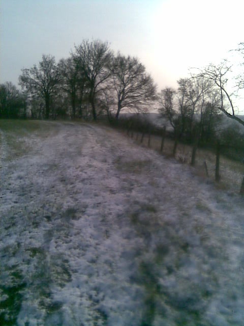
Schöner MTB Winter Rundweg mit einigen Steigungen, der auch bei schlechten Wetter gut fahrbar ist,da hauptsächlich auf Schotter gefahren wird.

Galerija izletov

Zemljevid in višinski profil izleta

  • Open Street Map
  • Google
Minimum height 314 m Maximum height 512 m Prikaz podrobnosti

More about the tour author

Pourcel20248
Member since 2009

Send private message

Komentarji

Poti GPS

Trackpoints
  • GPX / Garmin Map Source (gpx) download
  • TCX / Garmin Training Center® (tcx) download
  • CRS / Garmin Training Center® (crs) download
  • Google Earth (kml) download
  • G7ToWin (g7t) download
  • TTQV (trk) download
  • Overlay (ovl) download
  • Fugawi (txt) download
  • Kompass (DAV) Track (tk) download
  • List z izleti (pdf) download
  • Original file of the author (gpx) download

More about the tour author

Pourcel20248
Member since 2009

Send private message
Share track
Add to my favorites
Remove from my favorites
Edit tags
My score
Rate
Izlet: MTB Dezemberausfahrt
Vrsta: Gorsko kolo
Dolžina: 32,5 km
Evaluated on:
Trajanje:
Day(s)
Hour(s)
Minute(s)
Ocena: Pokrajina Dejavnik zabave Kondicija Tehnika