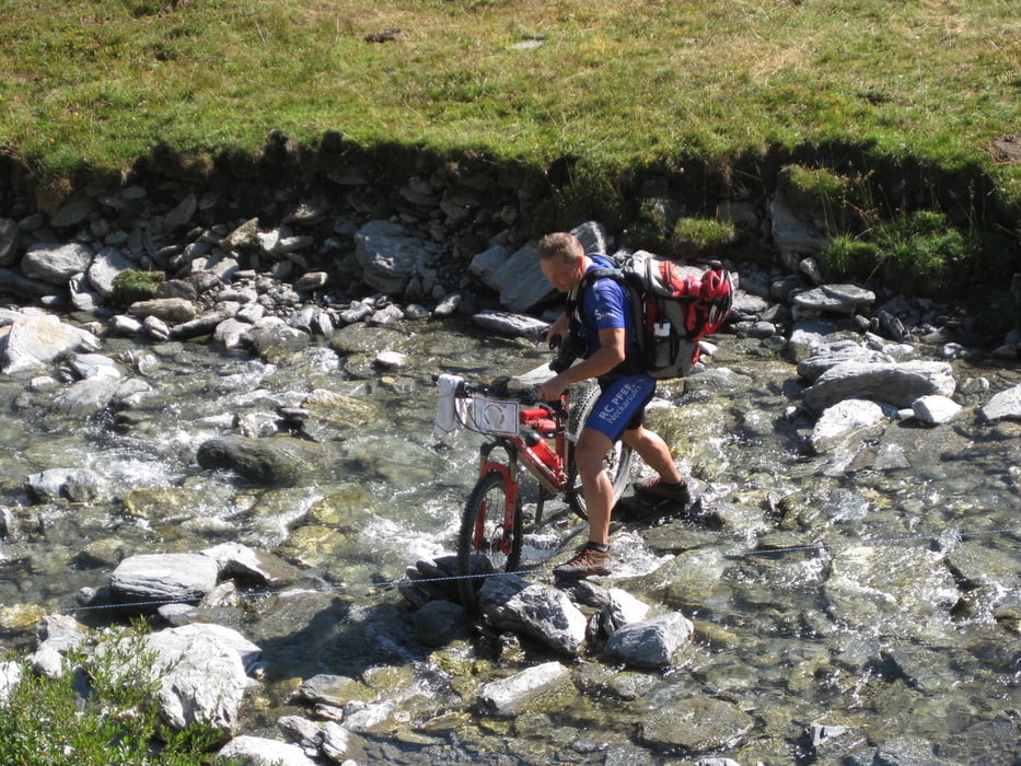
Teil 1 vormittags: Thures - Abries (über den Colle Mayt): Thures (1695m) - hinunter ins Dora-Riparia-Tal und dort nach Sauze di Cesana (1520m) - kurz nach Ort auf die rechte Talseite wechseln - Valle Argentera (schlechtere Variante, die wir gefahren sind: auf den Straße weiter, bis nach re ein Abzweig ins Valle Argentera geht) - im gefühlten Talschluß re auf steiler Piste hoch - bei ca. 2250m den Bach queren und auf Weg 611 hoch zum Colle Mayt (2706m) - abfahrend li halten bis Schafalm (2050m) und weiter auf Waldweg/Piste bis Le Roux und Abries (1540m)
Galerija izletov
Zemljevid in višinski profil izleta
Komentarji

Poti GPS
Trackpoints-
GPX / Garmin Map Source (gpx) download
-
TCX / Garmin Training Center® (tcx) download
-
CRS / Garmin Training Center® (crs) download
-
Google Earth (kml) download
-
G7ToWin (g7t) download
-
TTQV (trk) download
-
Overlay (ovl) download
-
Fugawi (txt) download
-
Kompass (DAV) Track (tk) download
-
List z izleti (pdf) download
-
Original file of the author (gpx) download


