Login

Si pozabil/a podatke za prijavo?

Cookies have to be accepted!
Your browser's cookie functionality is disabled. Please enable this functionality.

Not a member yet?

Register now
Login

Available for registred users only

Log in to use this feature.

Si pozabil/a podatke za prijavo?

Cookies have to be accepted!
Your browser's cookie functionality is disabled. Please enable this functionality.

Not a member yet?

Register now
Filter
Kategorije
Advanced filters
  • Dolžina (km)
  • Metri nadmorske višine
Shrani filter Reset filter

TrackRank

QRCode

Technical data

Dolžina6,3 km Metri nadmorske višine98 m Way down95 m Trajanje02:00 h:m Datum01.01.2010
Ocene Author Pokrajina Dejavnik zabave Kondicija Tehnika

Statistika

330 Pogledi Ocene 32 Prenosi Povprečje
Rate
  • List z izleti
  • Prihod
  • Prenosi

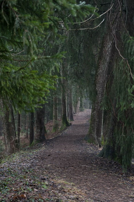
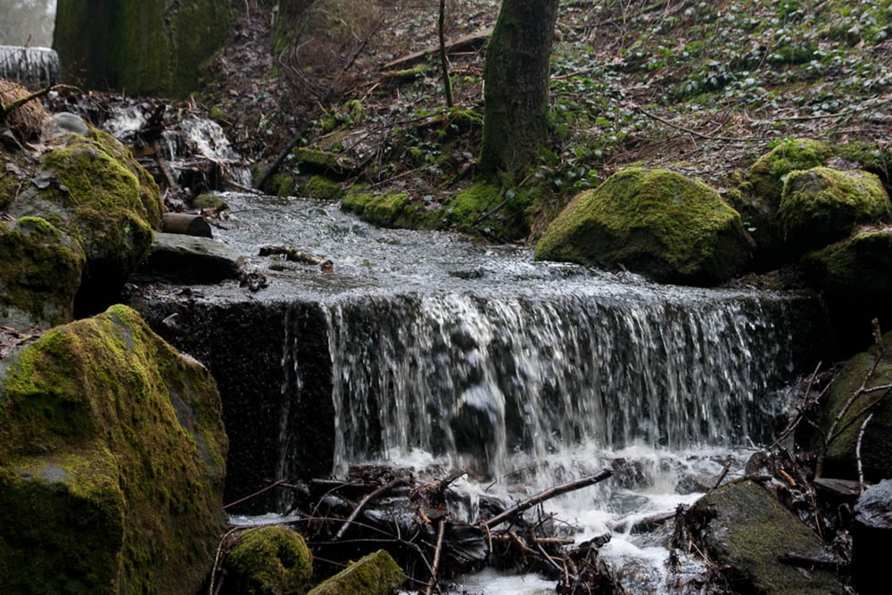
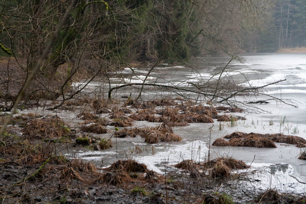
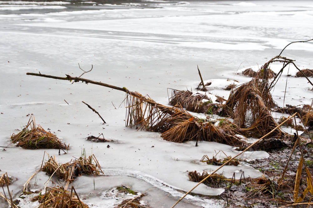
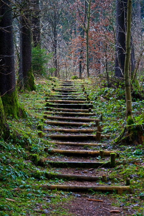
Kurze gemütliche Runde durch den Oberen Stadtwald.
Auf gut befestigten Wegen mit leichten Anstiegen geht es
vorbei am idyllisch gelegenen Krählohweiher.

Galerija izletov

Zemljevid in višinski profil izleta

  • Open Street Map
  • Google
Minimum height 656 m Maximum height 728 m Prikaz podrobnosti

More about the tour author

Markus79
Member since 2009

Send private message

Komentarji

Poti GPS

Trackpoints
  • GPX / Garmin Map Source (gpx) download
  • TCX / Garmin Training Center® (tcx) download
  • CRS / Garmin Training Center® (crs) download
  • Google Earth (kml) download
  • G7ToWin (g7t) download
  • TTQV (trk) download
  • Overlay (ovl) download
  • Fugawi (txt) download
  • Kompass (DAV) Track (tk) download
  • List z izleti (pdf) download
  • Original file of the author (gpx) download

More about the tour author

Markus79
Member since 2009

Send private message
Share track
Add to my favorites
Remove from my favorites
Edit tags
My score
Rate
Izlet: Krählochweiher Runde
Vrsta: Pešačenje
Dolžina: 6,3 km
Evaluated on:
Trajanje:
Day(s)
Hour(s)
Minute(s)
Ocena: Pokrajina Dejavnik zabave Kondicija Tehnika