

Streckenwanderung 12.2009 Dossenheim> Wilhelmsfeld>Siedelsbrunn>Kreidacherhöhe
Ca 28 km, ca 900m bergauf, ca 7 Std Gehzeit.
Option: Start am Langen Kirschbaum> ca 17,5km, ca 350m bergauf, ca. 4h
(Bis zum Langen Kirschbaum mit VRN-Buslinie 34 über Ziegelhausen)
Für Pause auf ca 1/2 Wegstrecke, in Wilhelmsfeld an der Loipe links absteigen zum Naturfreundehaus Kohlhof, kaum Umweg. Dann weiter Richtung Kohlhof>Eichelberg.
Für Übernachtung Hotel Kreidacher Höhe: www.kreidacher-hoehe.de tel 06207/92220
(gepflegtes Hotel mit schönem neu renovierten wellnessbereich, preiswert)
Für Rückfahrt: www.vrn.de
Ab Kreidacher Höhe mit Bus nach Mörlenbach>mit Bahn nach Weinheim>mit OEG
(ca 1,5 Std. Rückfahrt), Werkt+So ca jede Std (ca 5nach Abfahrt)
oder Option statt Rückfahrt:
Ab Kreidacher Höhe schöne Wanderung n Weinh mögl (ca 15km, ca 200m bergauf, ca.3h)
Adressen:
- Nachverkehr: www.vrn.de
- Naturfreundehaus Kohlhof (Wilhelmsfeld) 06220/8520
- Hotel Kreidacher Höhe www.kreidacher-hoehe.de 06207- 92220
- Hotel Birkenhof, Waldmichelbach, www.hotel-birkenhof-waldmichelbach.de 06207-2297
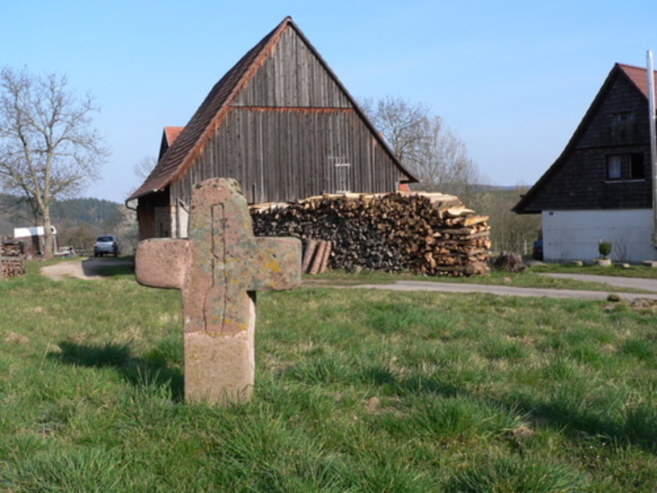
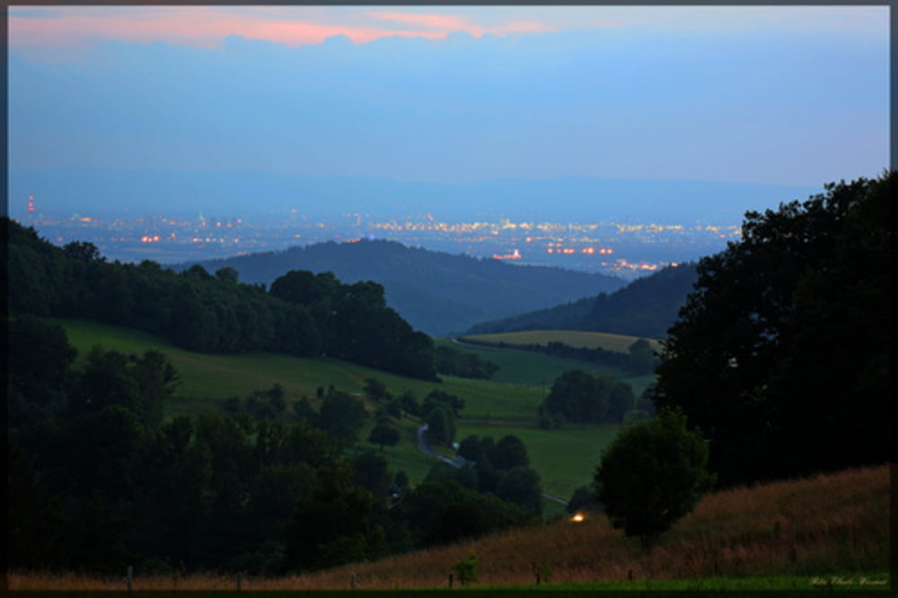
Galerija izletov


Zemljevid in višinski profil izleta
Minimum height 147 m
Maximum height 544 m
More about the tour author
|
|
wernermohr |
Komentarji

Poti GPS
Trackpoints-
GPX / Garmin Map Source (gpx) download
-
TCX / Garmin Training Center® (tcx) download
-
CRS / Garmin Training Center® (crs) download
-
Google Earth (kml) download
-
G7ToWin (g7t) download
-
TTQV (trk) download
-
Overlay (ovl) download
-
Fugawi (txt) download
-
Kompass (DAV) Track (tk) download
-
List z izleti (pdf) download
-
Original file of the author (gpx) download
More about the tour author
|
|
wernermohr |
Add to my favorites
Remove from my favorites
Edit tags
Open track
My score
Rate