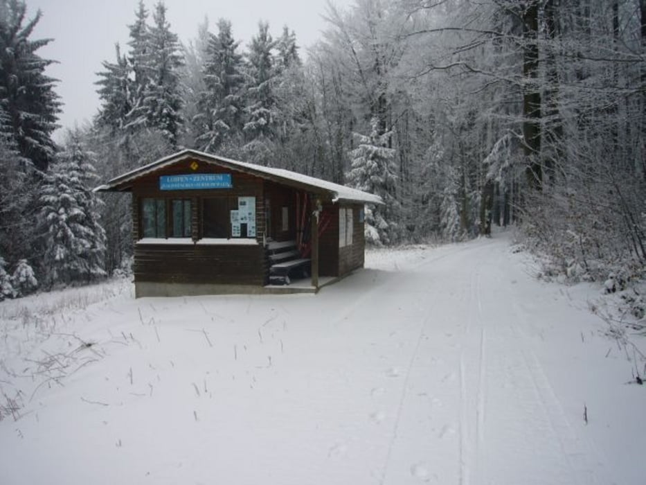
Vom Berggasthof Gibacht ausgeschilderte 3 km Skating Runde mit Variante. Nach ca. 1.5 km zweigt man von der ausgeschilderten Route ab und fährt mit kurzem Zwischenanstieg hinunter bis zum Parkplatz der als alternativer Einstieg dienen kann. Von hier auf dem gleichen Weg zurück und auf der ausgeschilderten Runde bis zum Schluss.
Further information at
http://www.gibacht.com/Zemljevid in višinski profil izleta
Minimum height 771 m
Maximum height 931 m
Komentarji

Von Furth im Wald in Richtung Skilifte Voithenberg und weiter nach Althütte. Hier ist der Abzweig zum Berggasthof Gibacht.
Poti GPS
Trackpoints-
GPX / Garmin Map Source (gpx) download
-
TCX / Garmin Training Center® (tcx) download
-
CRS / Garmin Training Center® (crs) download
-
Google Earth (kml) download
-
G7ToWin (g7t) download
-
TTQV (trk) download
-
Overlay (ovl) download
-
Fugawi (txt) download
-
Kompass (DAV) Track (tk) download
-
List z izleti (pdf) download
-
Original file of the author (gpx) download
Add to my favorites
Remove from my favorites
Edit tags
Open track
My score
Rate


