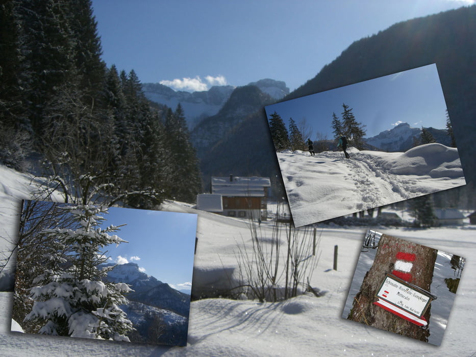
Vom Parkplatz NO-wärts über die Almwiese, an einigen Hütten vorbei bis zum Waldrand (hier eigentlicher Wegbeginn), gut markiert über einen Waldrücken (oftmalige Forststraßenquerungen) zur Wurzerhütte (1290m), weiter zur Hinteralm und über Wald- u. Grasgelände auf ein Plateau und nach rechts zum Gipfelkreuz am Gamskogel (1628m) und zur Anhöhe des Predigkogel (1691 m)
Abfahrt wie Anstieg oder nach der Forststrasse.
Kombinationsmöglichkeiten Von der Hinteralm markierter Verbindungsweg zur Mitteralm (1432m) und Abstieg SW-wärts in den Ortsteil Bad Ischl/Hinterstein am Eingang des Rettenbachtals. Karten AV 25 Blatt 15/1 (Totes Gebirge, West)ÖK 50 Blatt 96 (Bad Ischl)
Leider habe ich in der Rettenbachalm, das GPS zum ausschalten vergessen.
Somit ist die Autofahrt nach Bad Goisern zum Ghf Steegwirt mit am Track dabei (ist kulinarisch sehr zu empfehlen).
Further information at
http://www.steegwirt.at/Galerija izletov
Zemljevid in višinski profil izleta
Komentarji

Auf der Salzkammergut Straße (B145) von Stainach/Irdning oder Gmunden kommend bis Bad Ischl, SO-wärts abzweigen in das Rettenbachtal bis zur Rettenbachalm (großer Parkplatz).
Poti GPS
Trackpoints-
GPX / Garmin Map Source (gpx) download
-
TCX / Garmin Training Center® (tcx) download
-
CRS / Garmin Training Center® (crs) download
-
Google Earth (kml) download
-
G7ToWin (g7t) download
-
TTQV (trk) download
-
Overlay (ovl) download
-
Fugawi (txt) download
-
Kompass (DAV) Track (tk) download
-
List z izleti (pdf) download
-
Original file of the author (gpx) download


