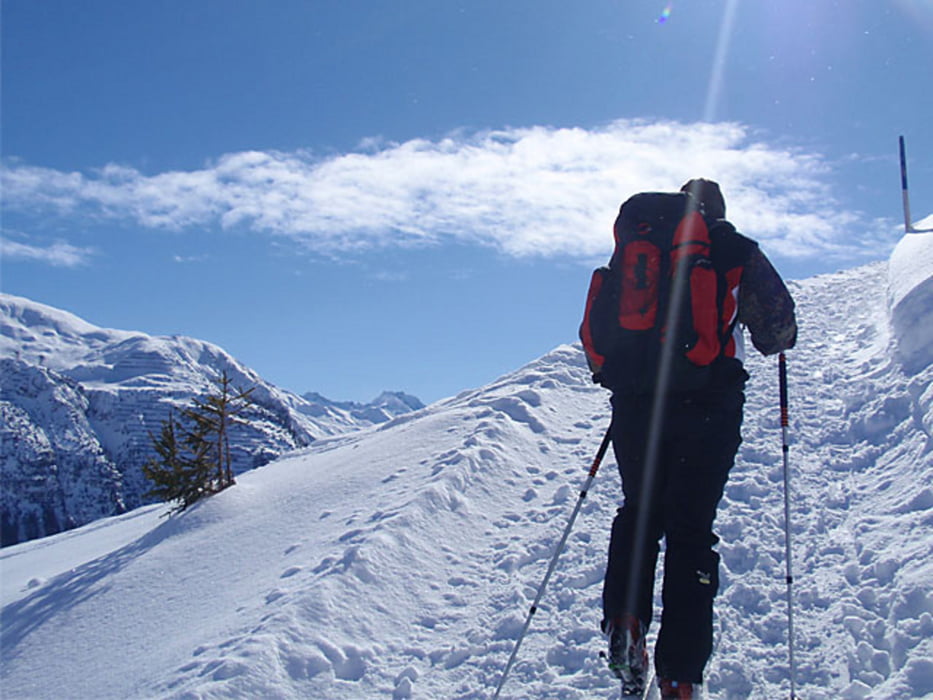
Schöne und leichte Skitour von Oberlech auf das Kriegerhorn. Abseits des Pistentroubels, aber doch mitten im Geschehen. Der wunderschön angelegte, aber unbenutzte Winterwanderweg führt bis zum Kriegersattel und bis zur Kriegeralpe. Aufstieg bis zum Kriegerhorn nur bei wenig Skibetrieb zu empfehlen.
Zemljevid in višinski profil izleta
Minimum height 1571 m
Maximum height 2086 m
Komentarji

Autobahn Bregenz - Bludenz nach Lech, bzw. Oberlech. Achtung - wenig Parkplätze.
Poti GPS
Trackpoints-
GPX / Garmin Map Source (gpx) download
-
TCX / Garmin Training Center® (tcx) download
-
CRS / Garmin Training Center® (crs) download
-
Google Earth (kml) download
-
G7ToWin (g7t) download
-
TTQV (trk) download
-
Overlay (ovl) download
-
Fugawi (txt) download
-
Kompass (DAV) Track (tk) download
-
List z izleti (pdf) download
-
Original file of the author (gpx) download
Add to my favorites
Remove from my favorites
Edit tags
Open track
My score
Rate

