


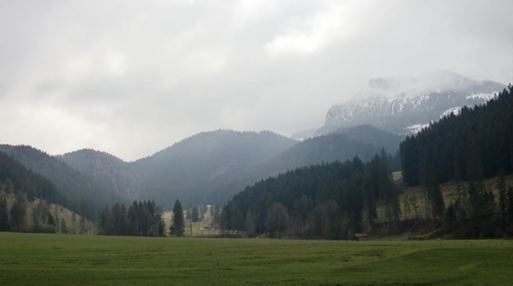
Kurze Runde um den Schwarzenberg auf guten Forststrassen. Erträgliche Steigungen, nur ab Elbach bis zur Diensthütte deutlich über 15 %.
Immer wieder schöne Blicke Richtung Leitzachtal und Wendelstein, an der ( mit einem kurzen Abstecher erreichbaren ) Tregler-Alm schöner Blick Richtung Bad Aibling in's Inntal.
Further information at
http://www.tregleralm.deGalerija izletov

Zemljevid in višinski profil izleta
Minimum height 667 m
Maximum height 1056 m
More about the tour author

|
mfa69 |
Komentarji

Von München kommend über die A8 Richtung Salzburg bis zur Ausfahrt Bad Aibling. Dort rechts Richtung Bad Feilnbach. Kurz vor Bad Feilnbach rechts Richtung Fischbachau / Hundham und bei Deisenried rechts auf den Parkplatz. ( Gebührenfrei, eine "Spende" wird erbeten ).
Poti GPS
Trackpoints-
GPX / Garmin Map Source (gpx) download
-
TCX / Garmin Training Center® (tcx) download
-
CRS / Garmin Training Center® (crs) download
-
Google Earth (kml) download
-
G7ToWin (g7t) download
-
TTQV (trk) download
-
Overlay (ovl) download
-
Fugawi (txt) download
-
Kompass (DAV) Track (tk) download
-
List z izleti (pdf) download
-
Original file of the author (gpx) download
More about the tour author
|
|
mfa69 |
Add to my favorites
Remove from my favorites
Edit tags
Open track
My score
Rate