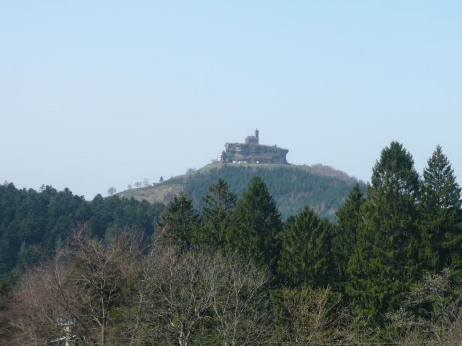
Très très beau parcours avec de très beau single et des descentes tout simplement splendide.
Un vrai régal, c'est une rando à ne manquer sous aucun prétexte.
ATTENTION : au Km 45 il faut tourner à droite directement. La trace toute droite est une erreur de trajectoire.
Further information at
http://www.cyclocw.fr/Galerija izletov
Zemljevid in višinski profil izleta
Minimum height 217 m
Maximum height 695 m
Komentarji

Cosec de Wasselonne
Poti GPS
Trackpoints-
GPX / Garmin Map Source (gpx) download
-
TCX / Garmin Training Center® (tcx) download
-
CRS / Garmin Training Center® (crs) download
-
Google Earth (kml) download
-
G7ToWin (g7t) download
-
TTQV (trk) download
-
Overlay (ovl) download
-
Fugawi (txt) download
-
Kompass (DAV) Track (tk) download
-
List z izleti (pdf) download
-
Original file of the author (gpx) download
Add to my favorites
Remove from my favorites
Edit tags
Open track
My score
Rate


