Login

Si pozabil/a podatke za prijavo?

Cookies have to be accepted!
Your browser's cookie functionality is disabled. Please enable this functionality.

Not a member yet?

Register now
Login

Available for registred users only

Log in to use this feature.

Si pozabil/a podatke za prijavo?

Cookies have to be accepted!
Your browser's cookie functionality is disabled. Please enable this functionality.

Not a member yet?

Register now
Filter
Kategorije
Advanced filters
  • Dolžina (km)
  • Metri nadmorske višine
Shrani filter Reset filter

TrackRank

QRCode

Technical data

Dolžina13,8 km Metri nadmorske višine647 m Way down648 m Trajanje04:00 h:m Datum25.04.2010
Ocene Author Pokrajina Dejavnik zabave Kondicija Tehnika

Statistika

568 Pogledi Ocene 67 Prenosi Povprečje
Rate
  • List z izleti
  • Prihod
  • Prenosi

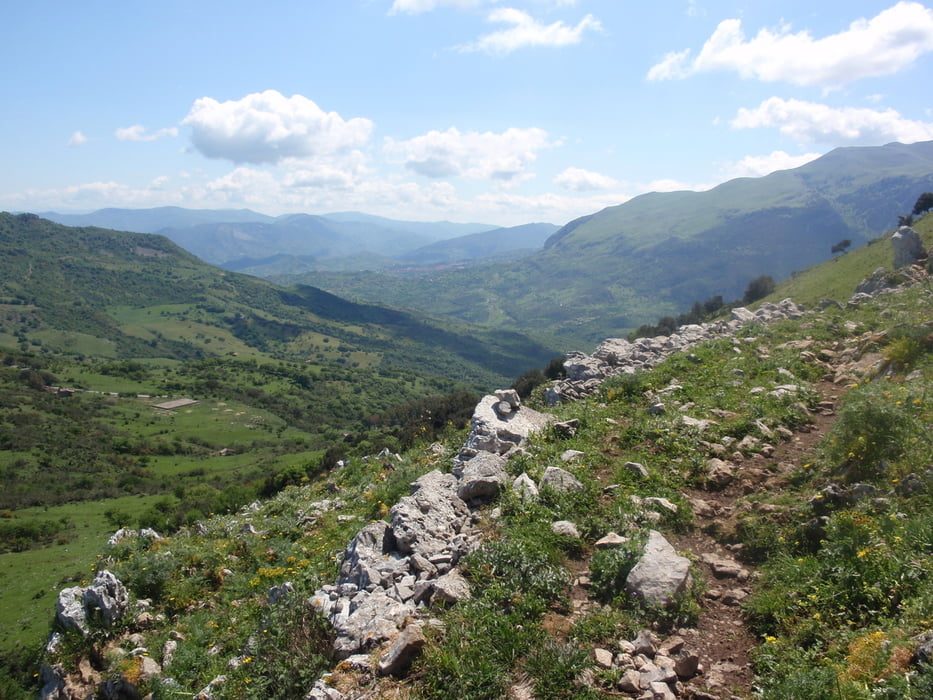
Mooie bergtocht met prachtig uitzicht over de omliggende omgeving.

Af en toe is het lastig om het juiste pad te vinden. Bij de afdaling richting Gratteri moesten wij een stukje kletteren, maar met een beetje geluk vind jij het juiste pad.


Galerija izletov

Zemljevid in višinski profil izleta

  • Open Street Map
  • Google
Minimum height 608 m Maximum height 1121 m Prikaz podrobnosti

More about the tour author

japie7
Member since 2009

Send private message

Komentarji

Poti GPS

Trackpoints
  • GPX / Garmin Map Source (gpx) download
  • TCX / Garmin Training Center® (tcx) download
  • CRS / Garmin Training Center® (crs) download
  • Google Earth (kml) download
  • G7ToWin (g7t) download
  • TTQV (trk) download
  • Overlay (ovl) download
  • Fugawi (txt) download
  • Kompass (DAV) Track (tk) download
  • List z izleti (pdf) download
  • Original file of the author (gpx) download

More about the tour author

japie7
Member since 2009

Send private message
Share track
Add to my favorites
Remove from my favorites
Edit tags
My score
Rate
Izlet: Gratteri en omgeving
Vrsta: Plezalna pot
Dolžina: 13,8 km
Evaluated on:
Trajanje:
Day(s)
Hour(s)
Minute(s)
Ocena: Pokrajina Dejavnik zabave Kondicija Tehnika