Login

Si pozabil/a podatke za prijavo?

Cookies have to be accepted!
Your browser's cookie functionality is disabled. Please enable this functionality.

Not a member yet?

Register now
Login

Available for registred users only

Log in to use this feature.

Si pozabil/a podatke za prijavo?

Cookies have to be accepted!
Your browser's cookie functionality is disabled. Please enable this functionality.

Not a member yet?

Register now
Filter
Kategorije
Advanced filters
  • Dolžina (km)
  • Metri nadmorske višine
Shrani filter Reset filter

TrackRank

QRCode

Technical data

Dolžina79,4 km Metri nadmorske višine271 m Way down276 m Trajanje04:00 h:m Datum25.04.2010
Ocene Author Pokrajina Dejavnik zabave Kondicija Tehnika

Statistika

277 Pogledi Ocene 10 Prenosi Povprečje
Rate
  • List z izleti
  • Prihod
  • Prenosi

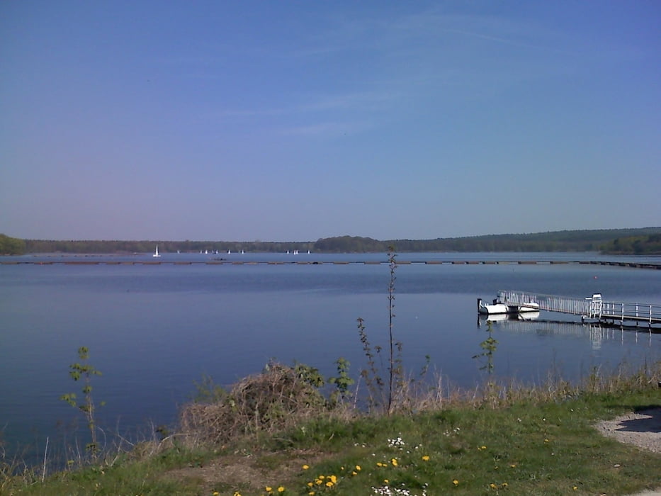
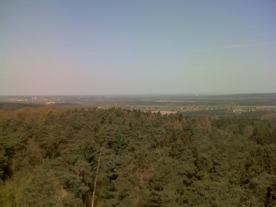
 halt mal wieder eine Vorbereitungstour nach dem langen Winter... einfach ein bisschen Strecke fahren, Höhenmeter haben wir ja hier eh kaum zu bieten...

Galerija izletov

Zemljevid in višinski profil izleta

  • Open Street Map
  • Google
Minimum height 34 m Maximum height 145 m Prikaz podrobnosti

More about the tour author

heikes
Member since 2009

Send private message

Komentarji

 Ottmarsbocholt Tankstelle

Poti GPS

Trackpoints
  • GPX / Garmin Map Source (gpx) download
  • TCX / Garmin Training Center® (tcx) download
  • CRS / Garmin Training Center® (crs) download
  • Google Earth (kml) download
  • G7ToWin (g7t) download
  • TTQV (trk) download
  • Overlay (ovl) download
  • Fugawi (txt) download
  • Kompass (DAV) Track (tk) download
  • List z izleti (pdf) download
  • Original file of the author (gpx) download

More about the tour author

heikes
Member since 2009

Send private message
Share track
Add to my favorites
Remove from my favorites
Edit tags
My score
Rate
Izlet: Von Ottmarsbocholt zum Halterner Stausee
Vrsta: Gorsko kolo
Dolžina: 79,4 km
Evaluated on:
Trajanje:
Day(s)
Hour(s)
Minute(s)
Ocena: Pokrajina Dejavnik zabave Kondicija Tehnika