Login

Si pozabil/a podatke za prijavo?

Cookies have to be accepted!
Your browser's cookie functionality is disabled. Please enable this functionality.

Not a member yet?

Register now
Login

Available for registred users only

Log in to use this feature.

Si pozabil/a podatke za prijavo?

Cookies have to be accepted!
Your browser's cookie functionality is disabled. Please enable this functionality.

Not a member yet?

Register now
Filter
Kategorije
Advanced filters
  • Dolžina (km)
  • Metri nadmorske višine
Shrani filter Reset filter

TrackRank

QRCode

Technical data

Dolžina13,6 km Metri nadmorske višine475 m Way down492 m Trajanje1 day 4 h Datum29.04.2010
Ocene Author Pokrajina Dejavnik zabave Kondicija Tehnika

Statistika

654 Pogledi Ocene 72 Prenosi Povprečje
Rate
  • List z izleti
  • Prihod
  • Prenosi

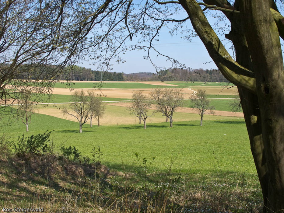
Eine unserer Lieblingswanderungen auf der Hochebene bei Hubnersberg.

Genaue Beschreibung im Link.

Further information at

http://www.nordbayern.de/ausflug_artikel.asp?art=1065497&kat=192

Galerija izletov

Zemljevid in višinski profil izleta

  • Open Street Map
  • Google
Minimum height 368 m Maximum height 547 m Prikaz podrobnosti

More about the tour author

vinrouge
Member since 2008

Send private message

Komentarji

Poti GPS

Trackpoints
  • GPX / Garmin Map Source (gpx) download
  • TCX / Garmin Training Center® (tcx) download
  • CRS / Garmin Training Center® (crs) download
  • Google Earth (kml) download
  • G7ToWin (g7t) download
  • TTQV (trk) download
  • Overlay (ovl) download
  • Fugawi (txt) download
  • Kompass (DAV) Track (tk) download
  • List z izleti (pdf) download
  • Original file of the author (gpx) download

More about the tour author

vinrouge
Member since 2008

Send private message
Share track
Add to my favorites
Remove from my favorites
Edit tags
My score
Rate
Izlet: Hubnersberg
Vrsta: Pešačenje
Dolžina: 13,6 km
Evaluated on:
Trajanje:
Day(s)
Hour(s)
Minute(s)
Ocena: Pokrajina Dejavnik zabave Kondicija Tehnika